Wednesday- the guy across the way
started up at 0600.
The night was not windy and was clear and dry (no dewfall) so packing
my things
didn’t require much dryout time. I
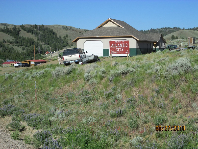
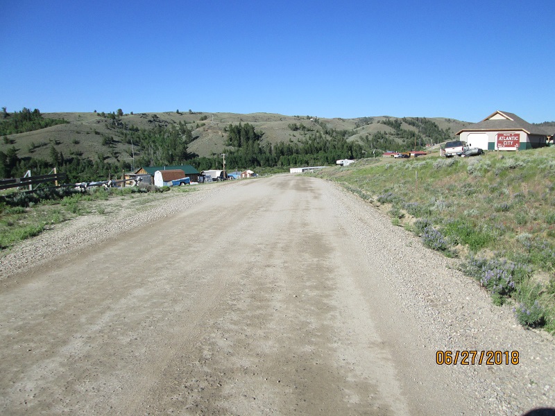
headed into Atlantic City briefly before getting on the road to Lander
for
fuel.
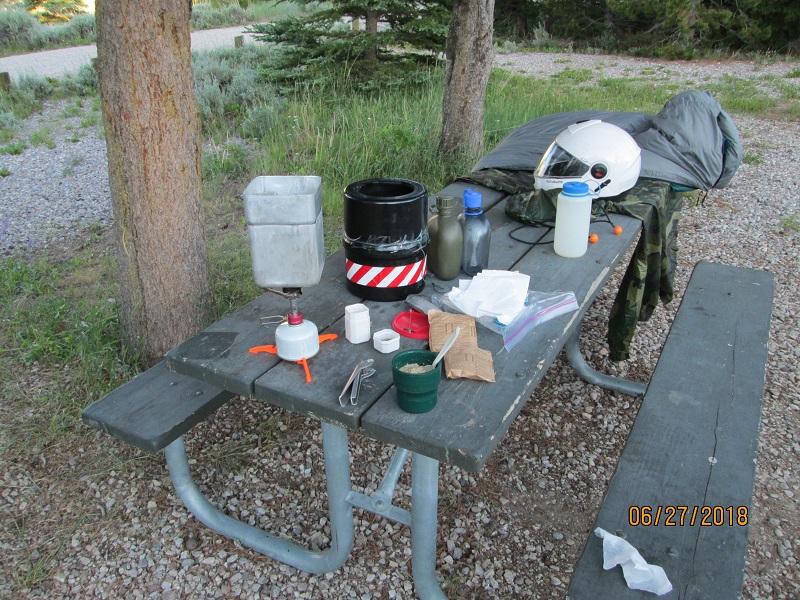
|
| Breakfast |
 |
 |
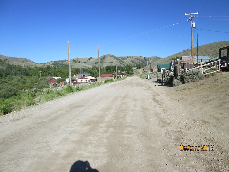 |
| Atlantic City. Another mining town in the vicinity of South Pass |
 |
 |
 |
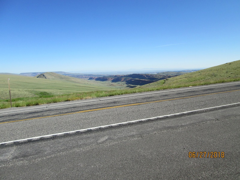
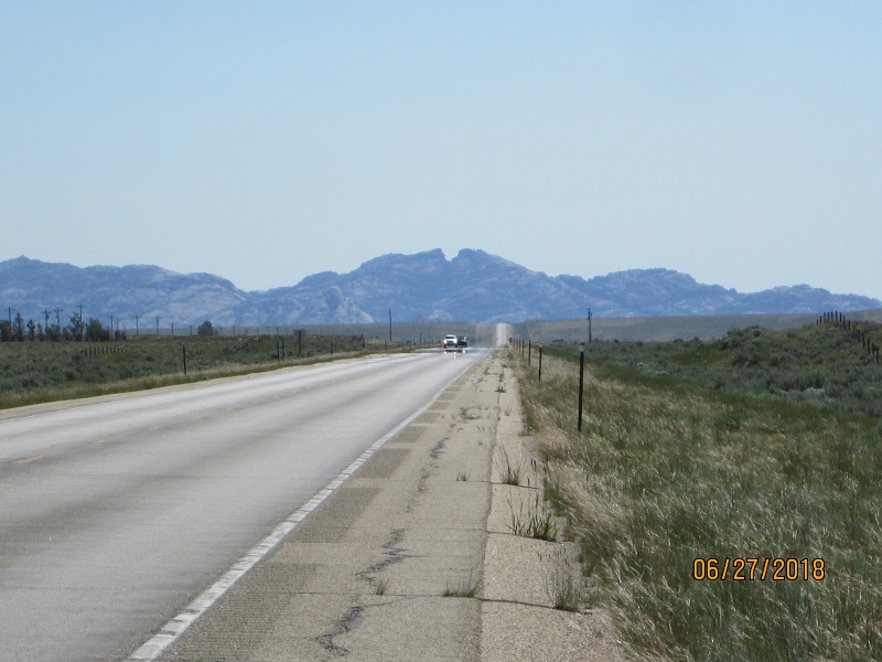
| Amazing geology on the way to Lander |
The stretch from Lander to Rawlins I
think epitomizes the
Oregon Trail ordeal. There are pillow-lava hills and ridges around the
area
and
the famous Split Rock landmark to see but by and large it’s an enormous
sagebrush flat to cross. Jeffrey
City is
a derelict roadside
town. Muddy Gap is a notch in the hills and with
the steady
strong wind blowing it’s something of an ordeal to cross on a
motorcycle
even
if the temperature is relatively pleasant.
Near Muddy Gap I was hit with a shockingly strong sudden
wind gust from
the side that
blew me about 1/3 across my lane to the left. Fortunately
I’d
been hanging to the right side of the lane as it was a gentle left
curve.
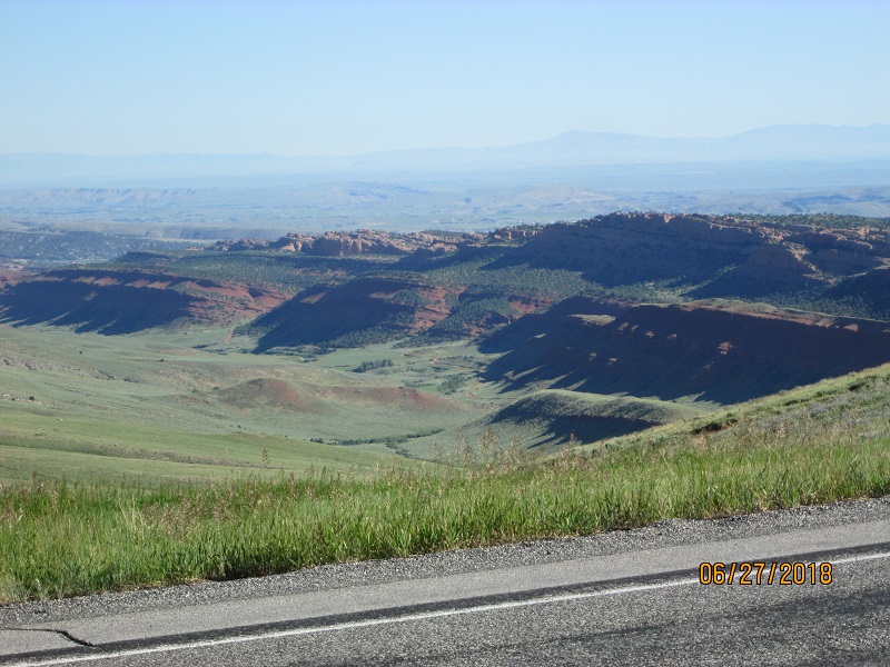
 |
 |
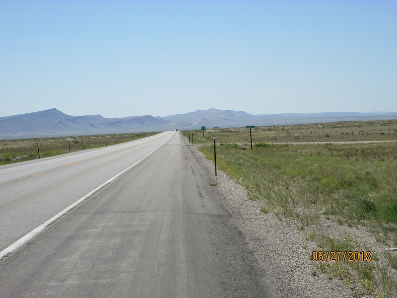
| Split Rock - a trailmarker on the Oregon Trail visible for 50 miles or so |
At Rawlins I stopped for fuel and
lunch. It was starting to
get hot. From there I jumped on I-80 and headed east to Wolcott where I
picked
up WY 130 and headed south down the wide valley between distant
mountain
ridges. At Saratoga
I continued south on
WY 230 to Riverside then WY 230 to the southeast up over the hill and
into
Colorado where the road turned into CO 125 then
arrived at Walden.
 |
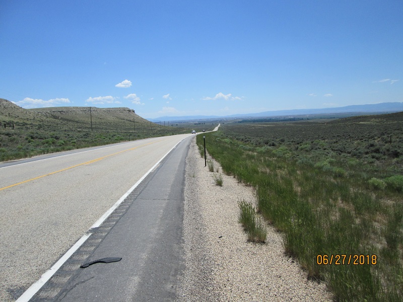 |
| Road between Wolcott goes to Saratoga then Encampment then to Walden |
I refueled in Walden and looked at
the clouds hanging over
the mountains between Walden and home.
They didn’t look too thick
but a few seemed to have veils
of rain under
them.
So I headed for home on the familiar road.
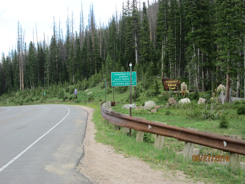 |
| Cameron Pass on CO 14. Downhill to home from here. |
Along the way there were a very few
splats of
water on my face shield but the road wasn’t wet and it was actually a
dry run
over the
mountains following behind the storms – if any. I was feeling good and
skilled so kept the
speed up thru the corners and danced with
the road
down to US 287 at Ted’s Place.
A bit south on US 287 I turned back into the
hills to ride around Horsetooth Reservoir
rather than beat my way in
traffic
thru town. I
refueled and called my friends
the Jones’ to swing
by for post-trip
pictures.
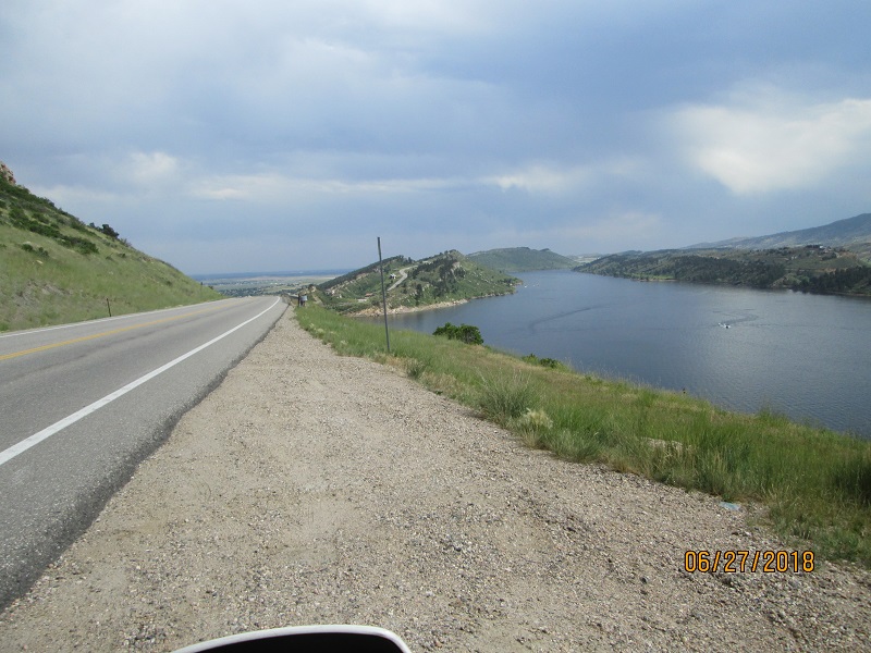 |
| Horsetooth Reservoir |
I got there and the rain almost started so it was a short picture session.
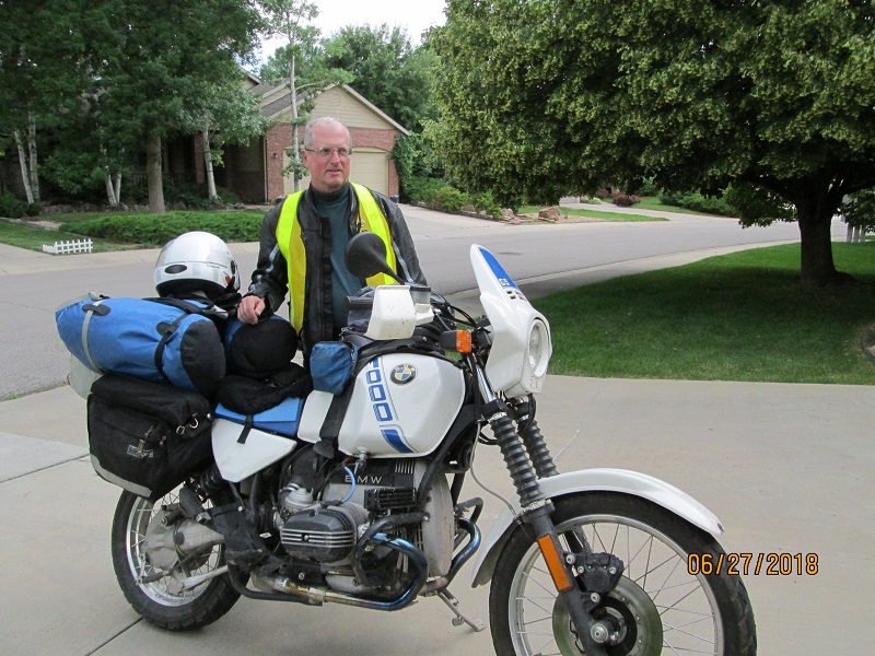 |
| Final picture on the trip |
Home safe.
I was definitely using the sides of
my tires as my rear tire
shows a lighter colored middle strip of what I presume is harder
wearing
material next to the sides. The sides have worn such that there is a
ridge
between the center strip and the sides.
Not sure if picture
will show it.
Tire is still good for many miles.
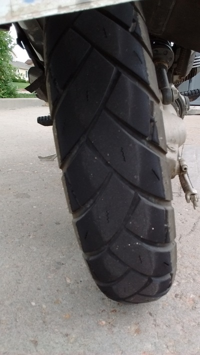 |
| Avon Trailrider tire. Lighter material in the middle is harder. There is a mild ridge between the inner and outer material since I rode on the sides of my tires quite a bit. |
Stats:
Miles travelled-
2235
Engine run hours-
51.7
Gas burned-
46.3 gal
MPG-
48.3
Equipment failures- one inflatable
pillow.
Injuries- none
Animals harmed – none though the
ground squirrels were
playing games of chicken by dashing across the road sometimes.
Other somewhat related thoughts-
Going to Alaska would require a good
2 week test run which
might be long enough to find all the gear and ritual issues that would
have to
be worked out to sit in the seat that long. My seat is too hard for
that long a
trip, one brand of soft earplugs turned out to
be uncomfortably hard
after
about 4 hrs - among other issues.
Reserved signs on NFS sites might not
be valid. Ask the campground
hosts before quitting assuming that a campground is full.
Last Modified: 11/14/2020