Monday
morning
was clear but with heavy dewfall and my tent being in the shade I had
to take
some time to dry my gear.
Meantime even our host departed to go to work leaving
me the last man standing.
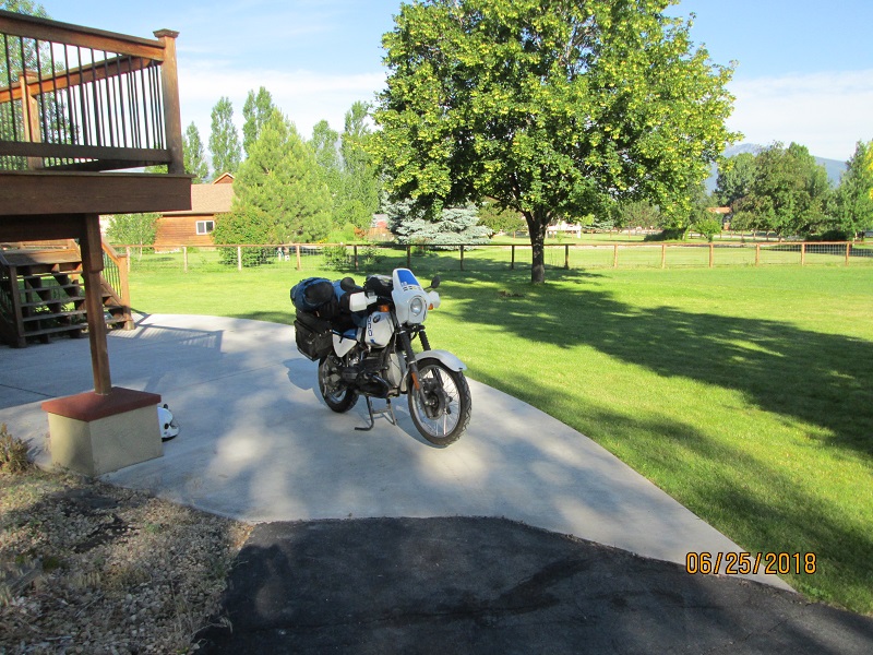
|
| Ready to go. Thanks for a great gathering! |
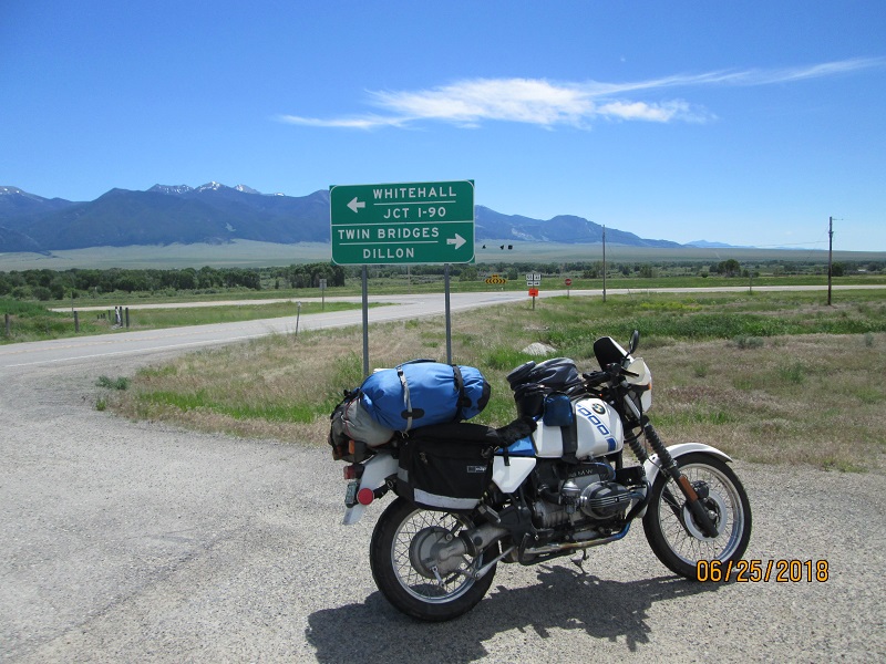
When I was ready to go I shut his
garage door and
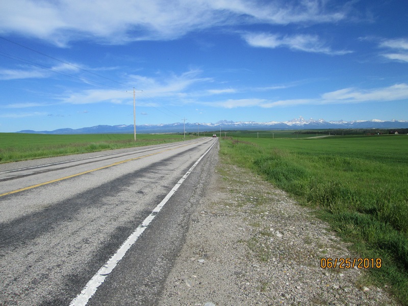
headed for Skalkaho
Pass (to the south
of Hamilton).
Weather was clear and pleasant. The
road starts as
pavement but turns
to dirt. It was
actually kind of cold in the shade
under the trees compared to the ride
down US
93 to get to the road. But the dirt was only damp with a few small
puddles.
(not like what I found on LaBarge creek road).
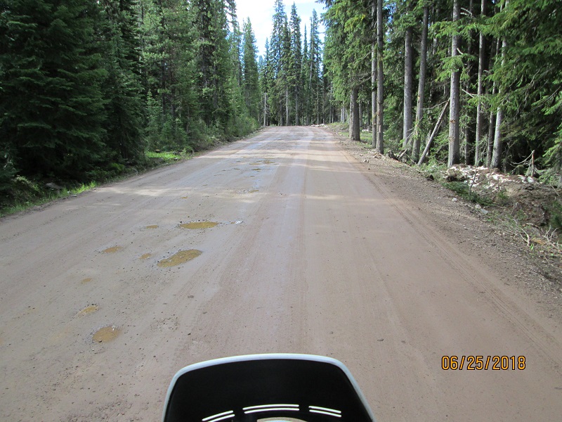 |
| This is about as bad as it got on Skalkaho Pass |
Soon I was over the top descending
the other side and on my way to
Anaconda MT. Joined
MT 1 and passed
Georgetown Lake
which is a large lake that appears to be a resort kind
of place
with houses around much of the shore and many docks and boats.
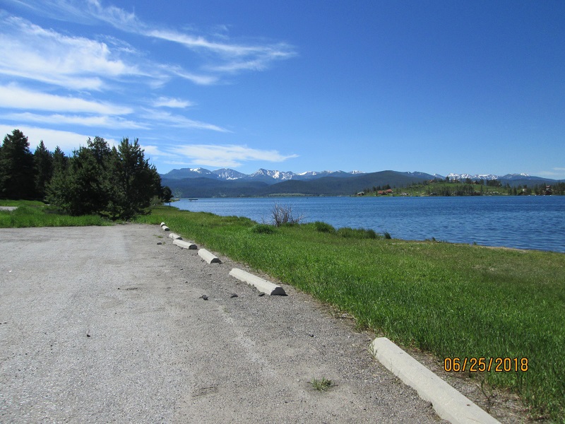 |
| Georgetown Lake |
From there I jumped on I-90 for the
short jaunt to MT
2. There were
several exits with names
such as “Harrison Ave” (which, in
post-incident research says it’s MT
2) but
the signs didn’t give a route number so I kept on.
And on. And on. My
Butler Maps
showed route number but it was
a bit late. So seeing that I can catch back onto the route a little
later I
rolled over Homestake Pass
at speed enjoying the view. (I’ve been over
Homestake many times going to/from Seattle) I exited at Pipestone then
travelled along
the road paralleling the interstate and connected to MT
2 and
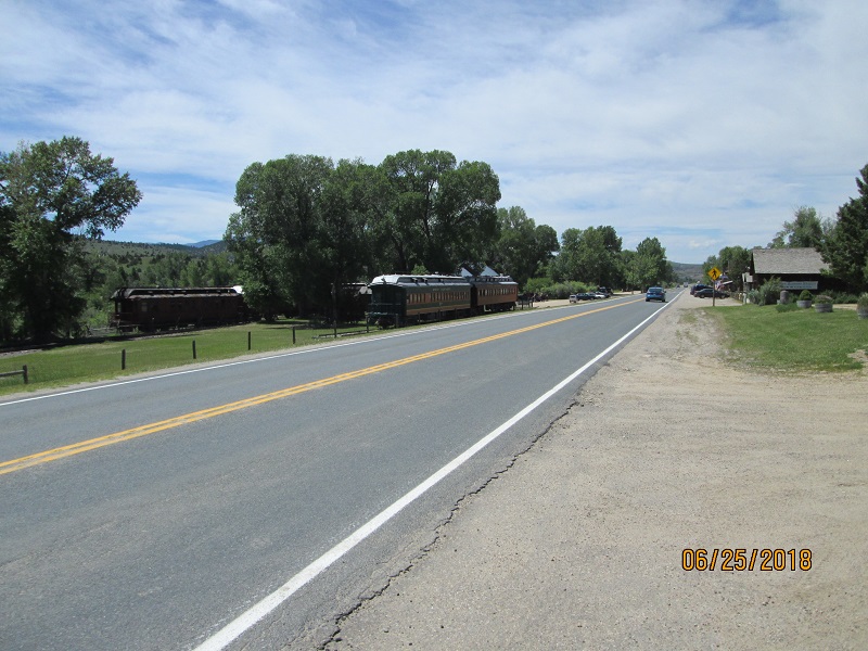
turn southwest then found MT 41 heading south. Down thru Silver Star
and Twin
Bridges to find MT 287.
 |
 |
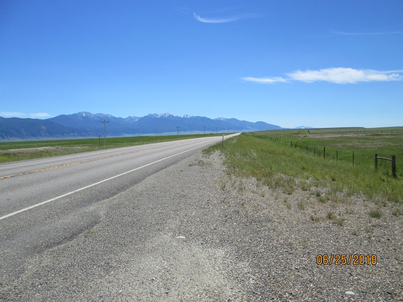
| Heading for Twin Bridges |
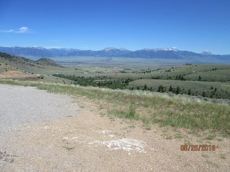
The area of Alder MT was clearly worked over by gold dredging as there are heaps and piles of river gravel in the river bottom. Looks much like the area of Breckenridge CO. Then Virginia City is a tourist destination mimicking an old west town with old buildings and old mining equipment.
 |
| One lame view of Virgina City. Lots more to see here than in the picture. |
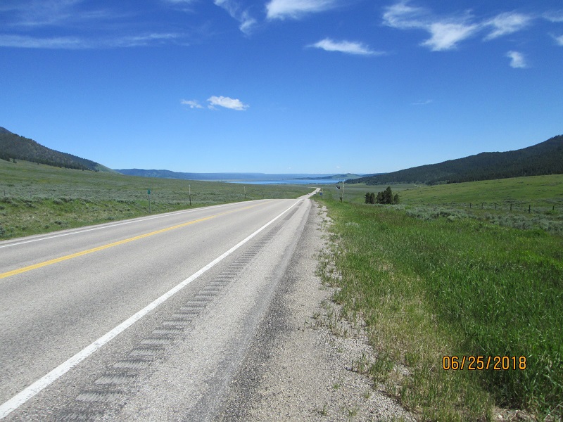
I
crossed the ridge and
descended into the Madison river valley near Ennis and into summer
tourist
madness.
The
Madison is a big deal
fishing destination. (I’ve fished it too).
 |
 |
| Madison River valley (top), Henry's Lake (bottom) |
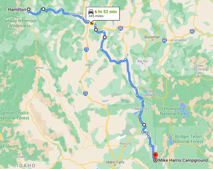
I refueled and then rolled south down
US 287 to MT 87 to US
20. My plan was to finish at the campground
on the Mesa Falls Scenic Byway.
Unfortunately, when I got there, the Madison/Yellowstone
proximity made
itself felt as a full campground.
I
considered trying one of the
two-track roads off the pavement and doing
a
dispersed camp but…. Decided against.
So I kept on going south.
Two
more campgrounds
at Warm River were also full.
I rode into Ashton for more fuel. At the gas pump was a
young river
guide who admired my bike. I asked him
about campgrounds further south.
I
couldn’t hear clearly thru my earplugs but he said something about down
near
Driggs at the bridge.
So
40 miles
onward I went. Farnum,
Drummond, France,
Lamont, Felt and
Tetonia went by.
 |
| Heading for Driggs |
I found no indication of camps near
any of the bridges I
found at Driggs. So I went on to Victor. My map showed a campground
symbol
on
the NW side of Victor but I saw nothing as I came into town. I searched around a bit
then finally went
into a gas station and asked.
The
lady
said there was a KOA in one direction and
“Mike Harris” in another.
I left
town and saw an RV park (not showing a KOA sign).
It looked like RV and
cabins
and not much like tent camping. I tried the other direction out of town
about 5
miles and found nothing.
So
I went back
to ask again – maybe I was confused about directions?
She stated Mike Harris was about 7 miles out
just before the road
climbed steeply. OK.
I found it. Apparently full with empty sites showing
‘Reserved’ but
a note said the campground hosts resided
2.5 miles
further west at the Trail Creek campground. So
I rolled into Trail Creek and seemed to
find the same problem – occupied or Reserved sites but!
A nice lady asked me what I needed and I
said “A tent site, a picnic table to unload gear to, and a pit toilet.” She said she
would put me in
site #10 – the
best one in the place for a tent.
I
removed my helmet and earplugs and we talked a bit. She’s one of the
campground
hosts and
said she could ALWAYS find a place for a motorcyclist even if
it was
on her front lawn. Yay!
Even though my
site and the adjacent one were
marked as reserved, no one showed up to
occupy. So
I had a nice spot though it
was a bit close to the road where hill climbing loads start to
be
applied to
vehicles. At least
there was signage
stating no compression braking for trucks thru that area.
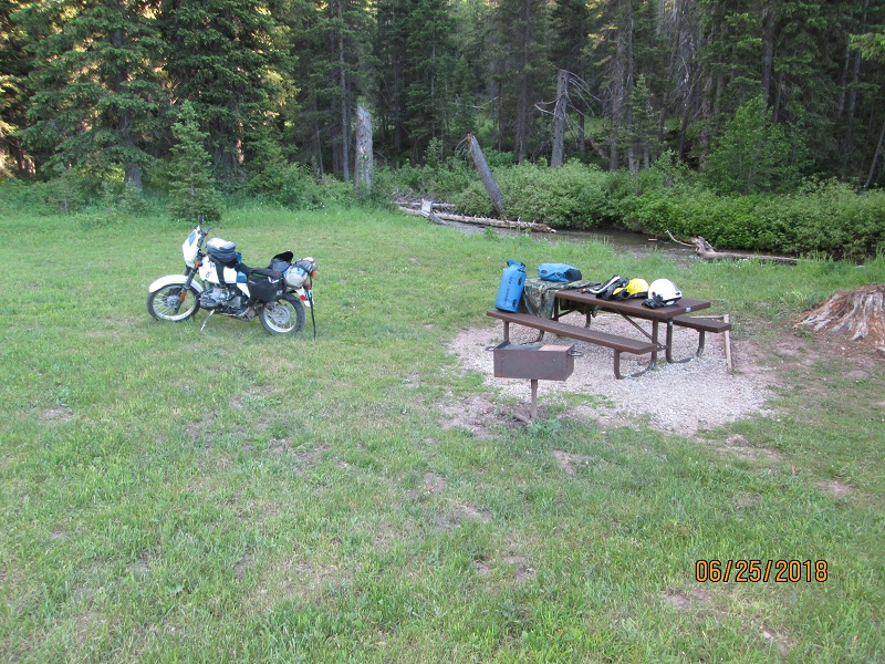 |
| Trail Creek camp. I pitched beyond the motorcycle. The ground was kind of lumpy but I was happy to have a spot! |
The night was pretty cool compared to Steve’s front yard but I was comfortable.
Last Modified: 11/14/2020