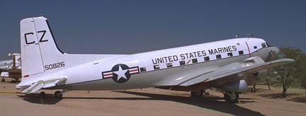
Photo by John Sepp. Courtesy of the Pima Air and Space Museum
Spruce Mountain C-47
| Name | Spruce Mountain C-47 |
| CAP data | 39 09N 104 53W 9/10/47 C-47 Marked |
| GPS coords | 39 09.524 N 104 53.061 W |
| GPS decimal | N39.15874 W104.88434 |
| UTM | 13 S 509993 4334190 |
| Datum used | NAD 27 |
| County | Douglas County just north of Palmer Lake |
Crashed Sept. 10, 1947
|
| C-47 type aircraft.
Photo by John Sepp. Courtesy of the Pima Air and Space Museum |

The wreck cause: Uncertain. Flight was 1/2 mile west of an airway center at night, in bad weather and for some reason descended to 7200' in an area with 8000' contours shown on their chart.
Casualties: Maj. Jack S Griffin, 32 pilot Blooming Grove, Tex.
Lieut. Oran M. Richardson, 26, copilot, Abilene, Tex.
Staff Sgt. Edmund J. Bueler Mercedes, Tex.
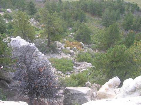
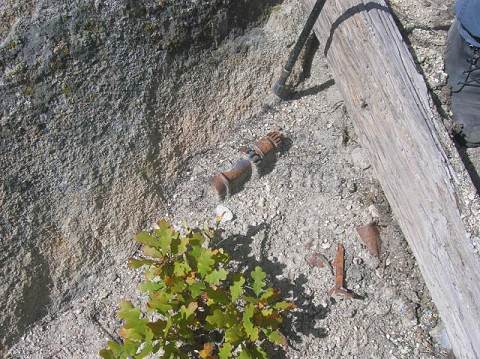
Site Description:. . Directly west of the Spruce Mtn road (County Rd 18) which parallels I-25. Wreckage was found just below the short cliffs near the top of the ridge at nearly the closest point to the road. The wreckage was found the morning after by a schoolbus driver who saw it on the mountain. This suggests just how close to the road it is. The other effect of a very, very close road is that when the AF removed the wreckage - they had little difficulty removing nearly all of it. The visit found a few items indicating we were definitely on the site but the items were generally fairly small. What we didn't find was the road that was used to take the wreckage away down the hill.
 |
 |
 |
| Spruce Mountain Trailhead | Looking down on the site | John Allis looking down on the site |
 |
 |
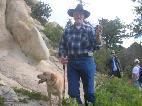 |
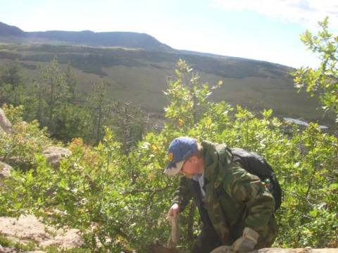
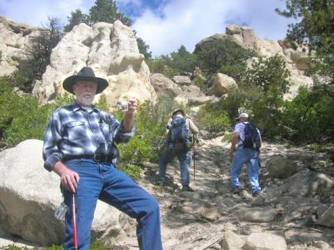
| Alan Sparks on the hunt | Some gears | Len Wallace and his master. |
 |
 |
 |
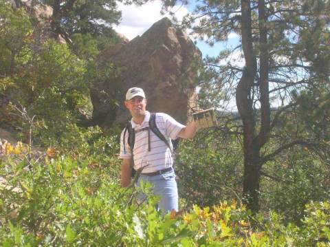
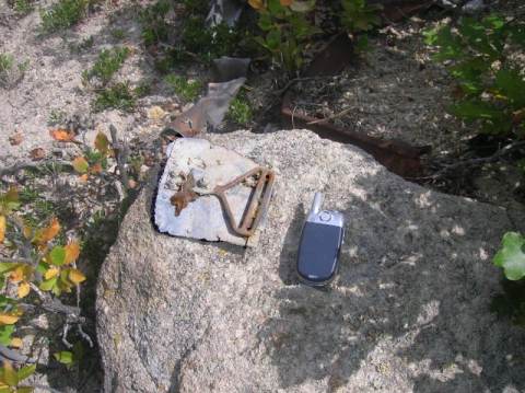
| Matt Hensarling holds up a piece | Seatbelt end to floor attach. Cellphone for scale. | Len Wallace and the wash/impact area |
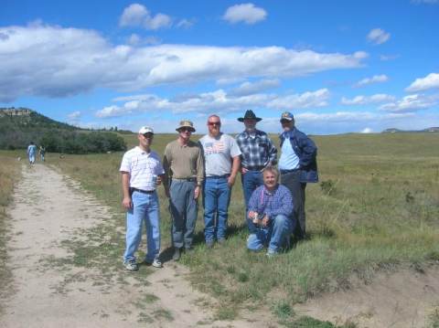 |
| The group: Matt Hensarling, Ron Miller,
John Allis, Len Wallace, Jim Mesco , Alan Sparks. Pictures by Larry Liebrecht
|
Best route to visit is to go to the Douglas County Open Space trailhead at the north end of the ridge that is Spruce Mountain. Our group (Colorado Aviation Historical Society party being guided by local fellow named John Allis, stayed on trail to the cliff above the site. Spot on the hill above the site is: 13 S 510848 4335213 Getting down and then back up the cliff can be problematic but we did this in order to comply with Doug Co's open space desire for folks to remain on trails. Trailhead: 13 S 510848 4335213
Home Moggie!
Last Modified: 1/1/2008