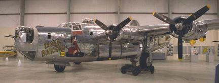
Photo by John Sepp. Courtesy of the Pima Air and Space Museum
Mt. Logan B-24
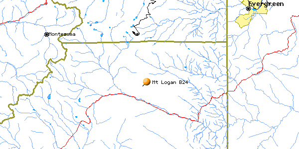
| Name | Mt. Logan B-24 |
| CAP data | 3929N 10538W UNK,B-24,UNK,MARKED/VSB FM AIR,12.5 |
| GPS coords | 39 28 30.3N 105 37 01.4W by GPS. (1.03 away from above). |
| GPS decimal | 39.47509 105.61705 |
| UTM | 13S 0446926, 4369473 |
| Datum used | NAD 27 |
| County | Park County, CO. |
Sept. 30, 1943
|
| Pima Museum's B-24
Photo by John Sepp. Courtesy of the Pima Air and Space Museum |
(Click on pictures to get enlarged images)
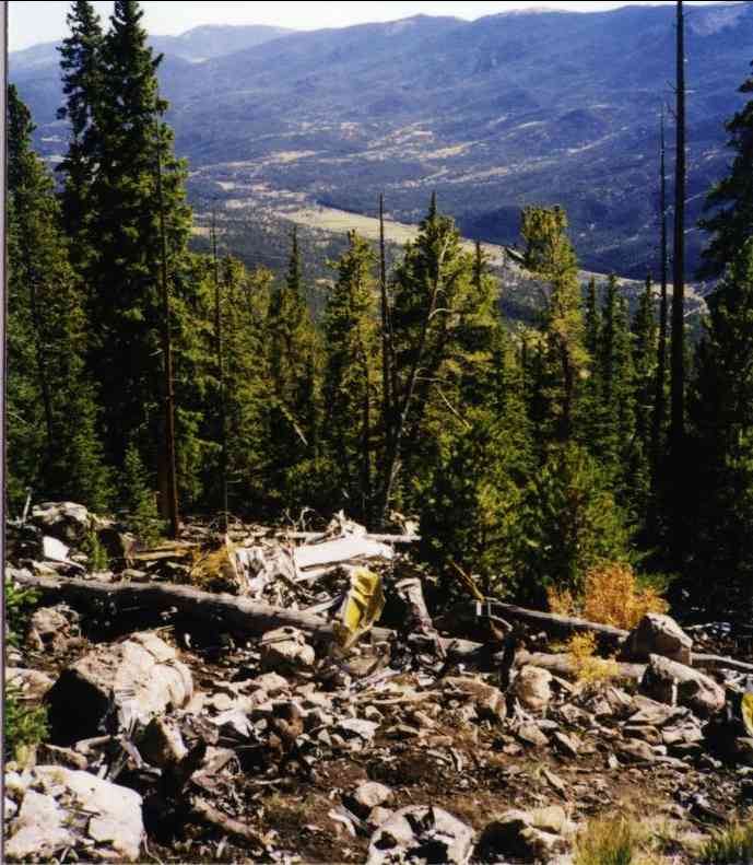 |
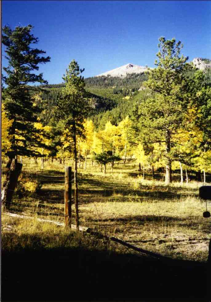
| Looking down to US 285 |
The wreck cause: The wreck cause: Loss of control resulting in spin. Spin recovered, stalled again, spun into ground.
Casualties: 2nd Lt. Edward W. Double
2nd Lt. John J. Cook
2nd Lt. Charles E. Samson
Sgt. Howard J. Lawler
Sgt Nicholas C. Salamone
Sgt. Nick Rappach (Corrected 1/10/05 from "Rich" )
Sgt. Orville L. Iverson
Sgt. Moses Zepkin
Sgt William G. Shaw
Sgt. Victor N Conti
Sgt. John J. Garvey
Survivor: 2nd Lt Henry A. McQuade, Bombardier
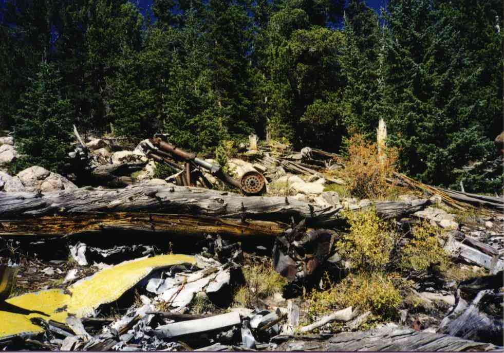
Site Description:. 11,400' level on Mt. Logan. Visible from US285
at Shawnee if you know exactly where to look and the light is right..
Located about 300 yds into trees SSW from large prominent rock outcrop on
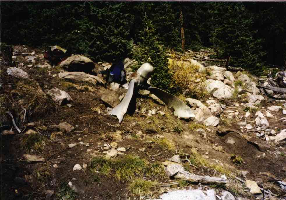
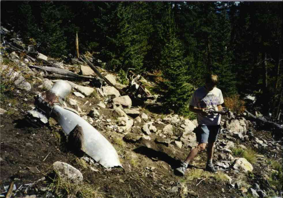
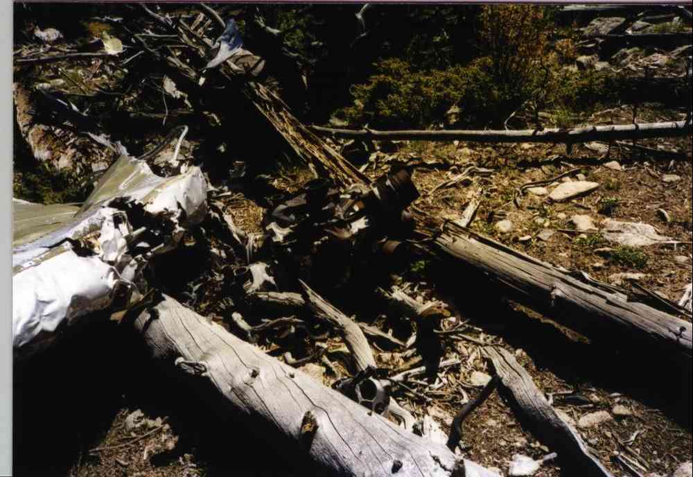
summit of subpeak of Logan. Debris remaining is fairly extensive. Some propellor
hub assemblies, several propellor blades, some .50 cal cases & links,
engines, struts, some sheet metal (not sure what parts) etc. Wreck has recently
been dug thru but access problem keeps most parts there. CAP marking panel
was square sheet of steel that someone has moved downhill about 500' into
the trees.
Best route Access is either straight up across private land from Santa Maria Catholic camp or somewhat roundabout from Hinkle gulch on 285 then contour across (4.5 hrs, 3,000'). I've only made the one trip there.
Trips to find the B-24: Made just one, no trip report. (It was a *hard* hike though! 4.5 hrs up.)
Pictures here:
 |
|
 |
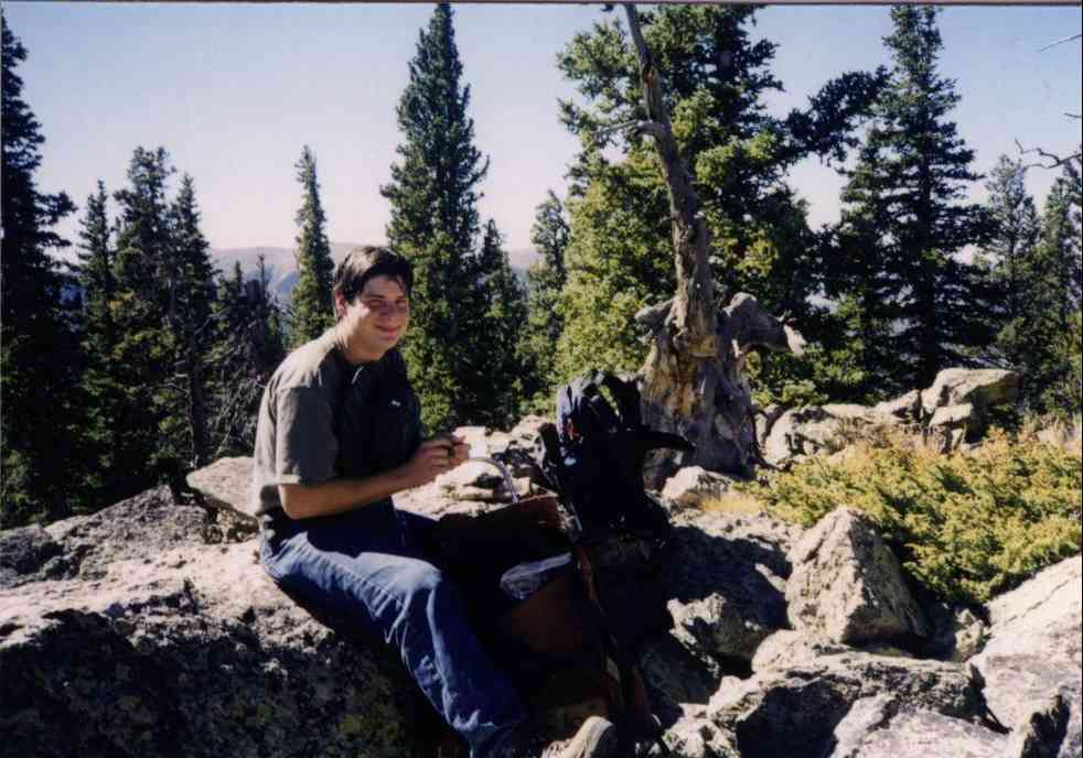
| Thomas Gallegos at lunch break after 3hrs climb. | The site has a view of the valley. | Landing gear leg. |
 |
 |
 |
| Prop. | Prop with kid. Other people were on the wreck
that day. |
Engine. |
 |
| Site is on the left shoulder of the
left mountain. |
Home Moggie!
Last Modified: 1/1/2008