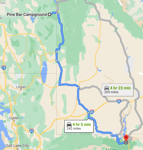
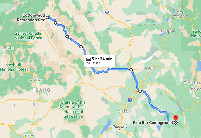
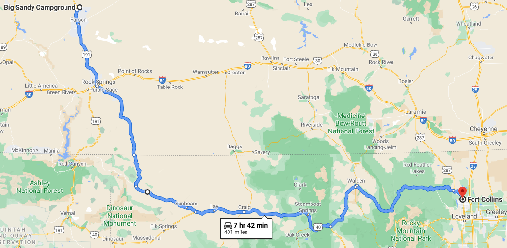
Trip to Montana on 1988 BMW
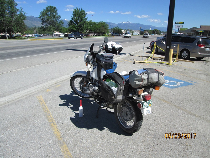
R100GS Motorcycle- June 2017
I'd been planning some kind of motorcycle trip for many months as a
transitional
journey
following my beloved wife's expected passing. I'd discussed
it
with another friend and invited him to join me. He said he'd be honored
to do so but even though he was
younger than me, he died of a heart attack a year ago. So I did the
trip alone to Shady Rascal's Red Pill BBQ. I won't belabor the reason
for the gathering but it gave me a smallish group event destination in
a very pretty part of the country as a goal. The folks were wonderful
and topics ranged all over the map from motorcycles to guns to hunting
to housing to corporate nonsense we'd been subjected to and so forth. I
rode there alone and rode back alone. That was ok.
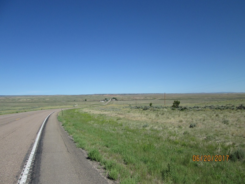
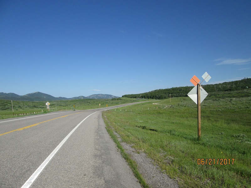
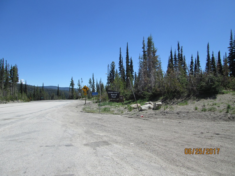
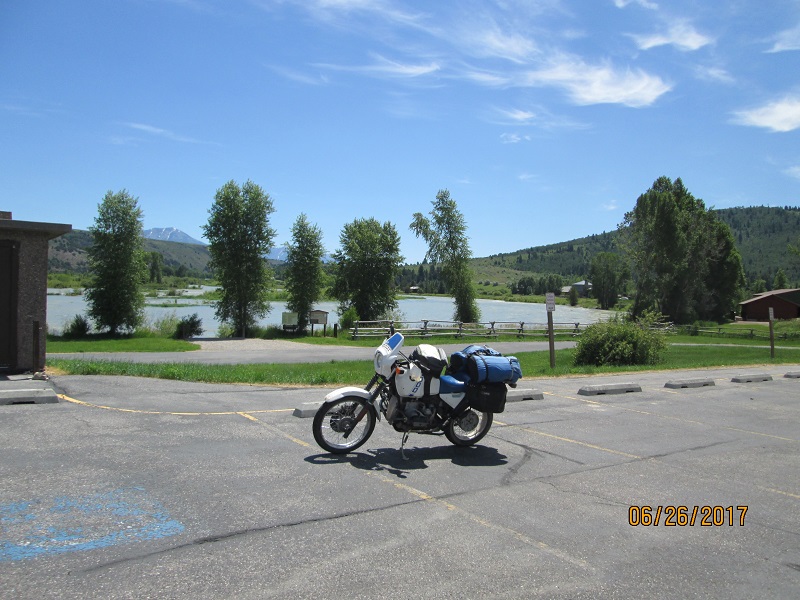
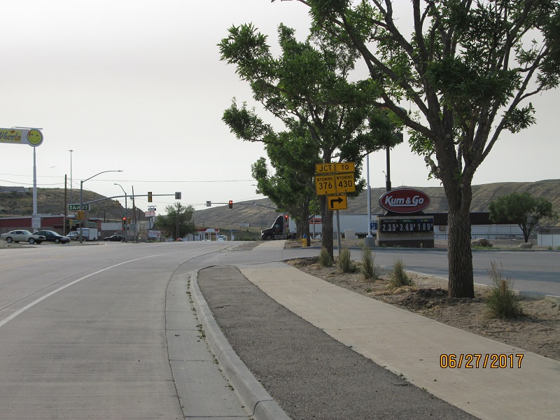
Route- Ft. Collins Harmony Road west turns into W.
County Rd 38 around the reservoir to the town of Masonville turning
north on the Buckhorn Rd eventually meeting CO Hwy 14 at Stove Prairie Landing. Turn west.
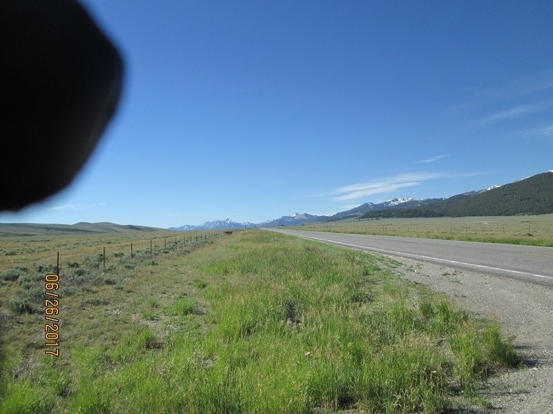
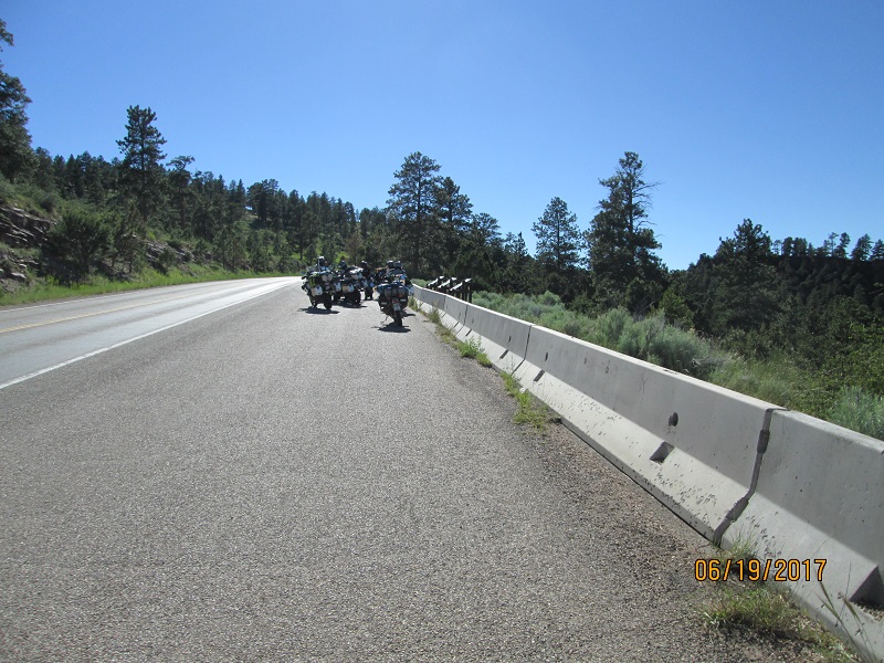
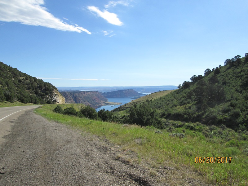
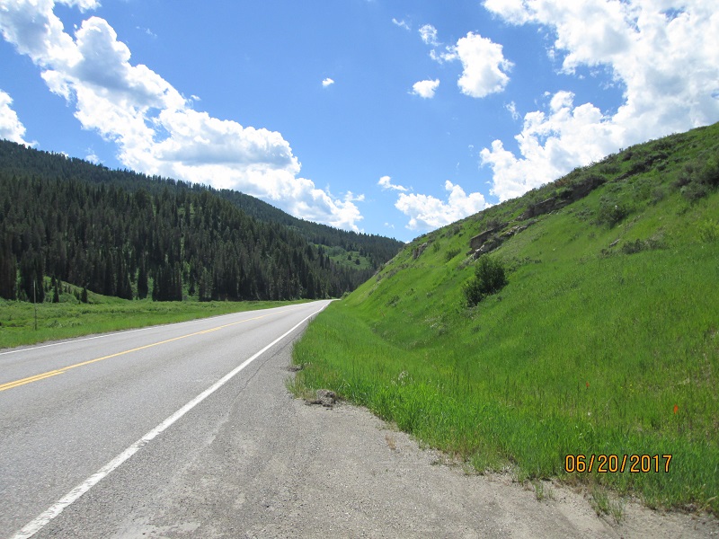
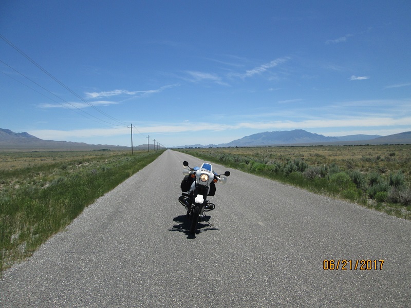
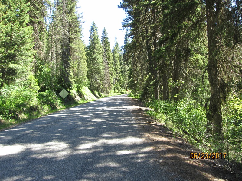
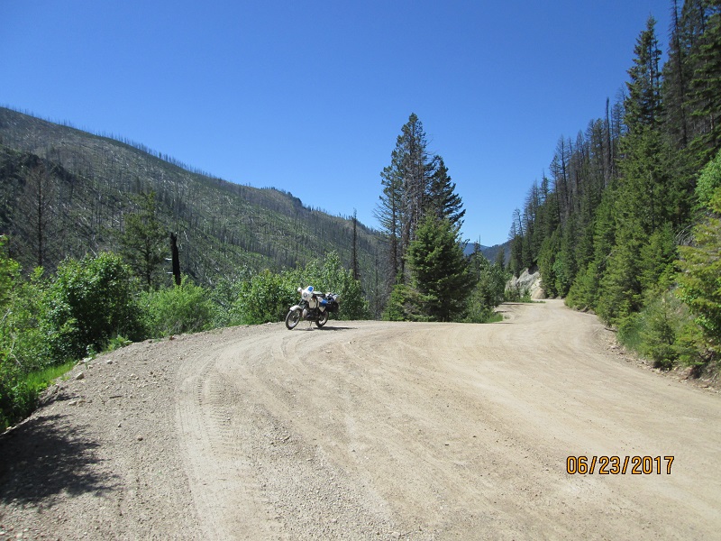
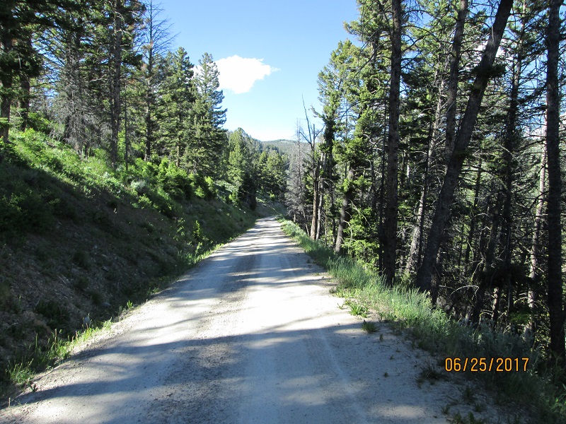
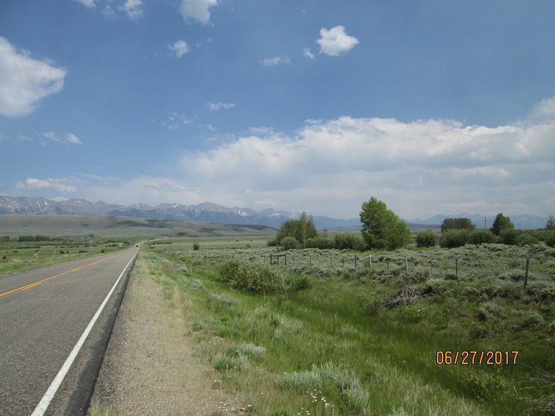
 |
| First picture in Poudre Canyon. |
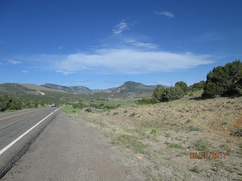
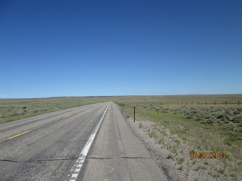
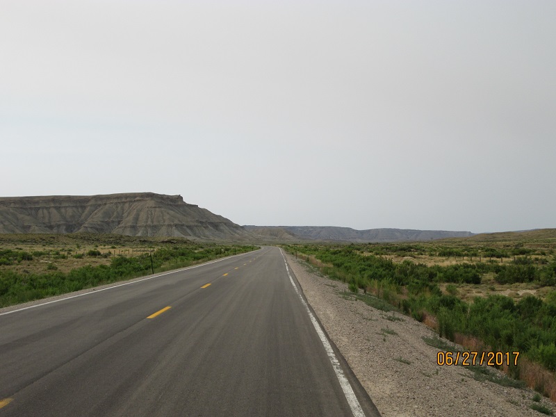
Route: Hwy 14 over Cameron Pass to Walden staying on 14
to the junction with US 40 east of Rabbit Ears Pass. Continue west on
US 40 thru Steamboat Springs and Craig to the town of Maybell.. At
Maybell turn NW on CO 318 toward Brown's Hole Wildlife preserve.

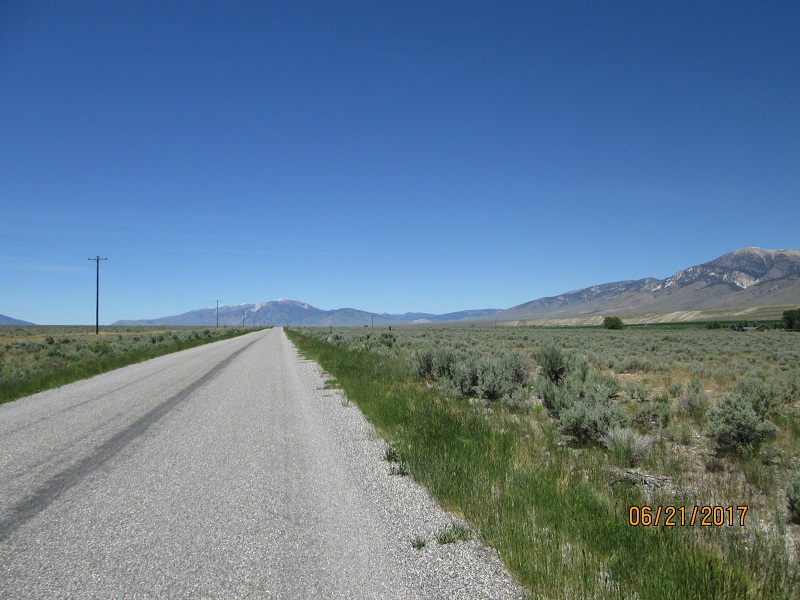
|
| Headed for Brown's Hole northwest from
Maybell CO. |
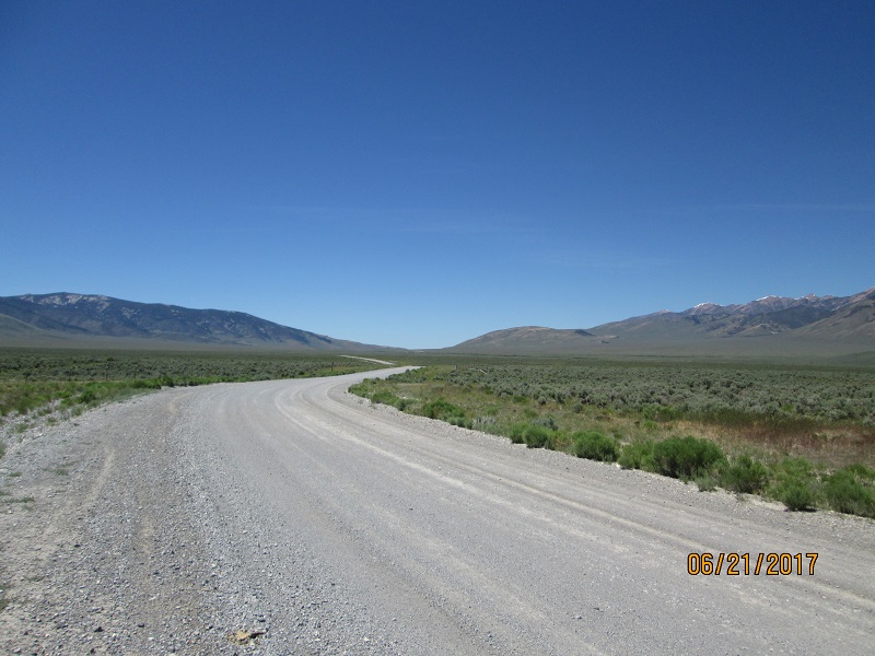
|
| More remote CO 318 road |
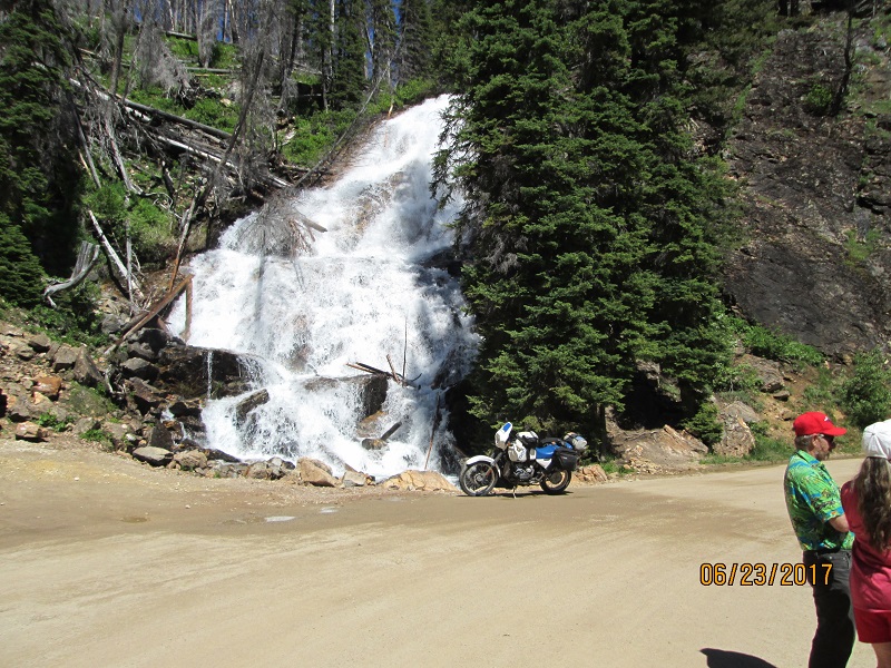
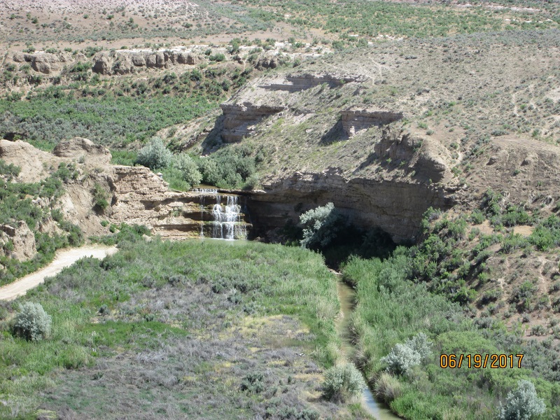 |
| Vermillion Falls from closeup lens |
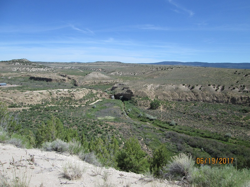 |
| Vermillion
Falls as viewed from the road - normal magnification |
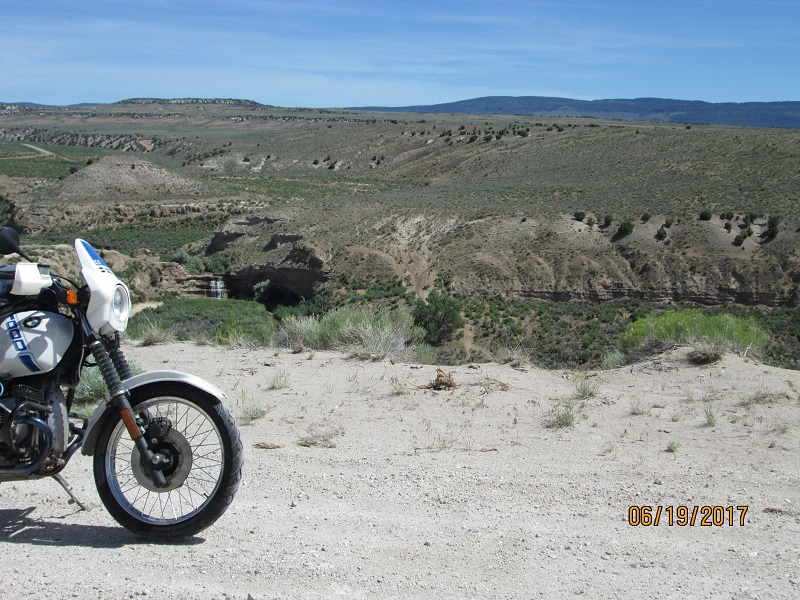 |
| Bike
for scale |
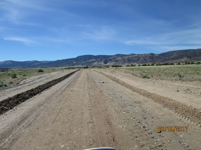
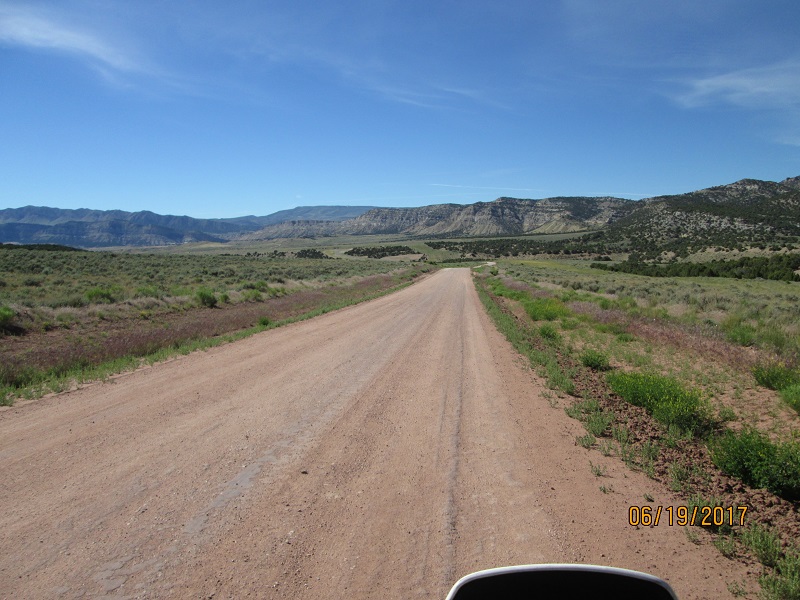
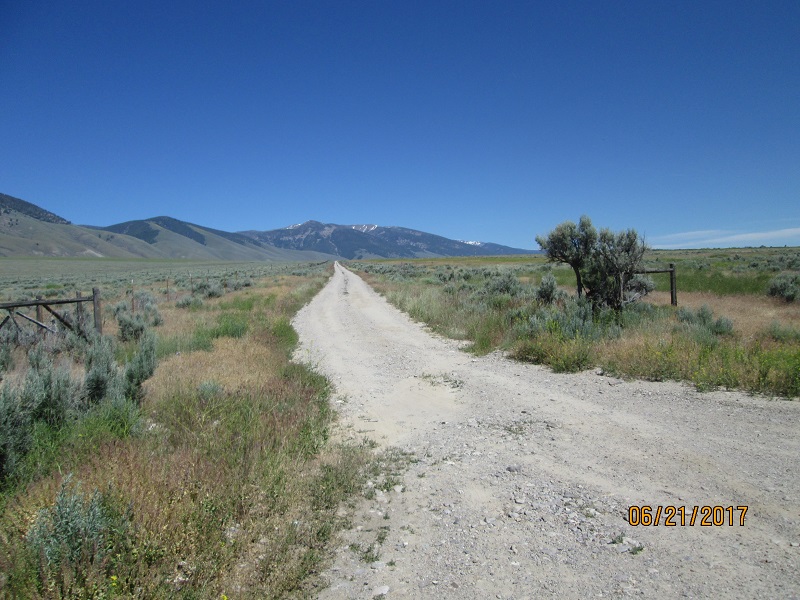
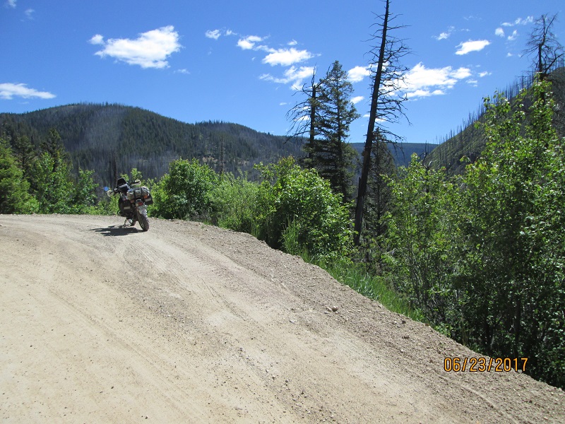
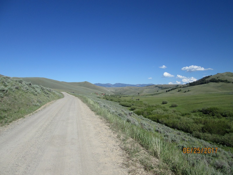
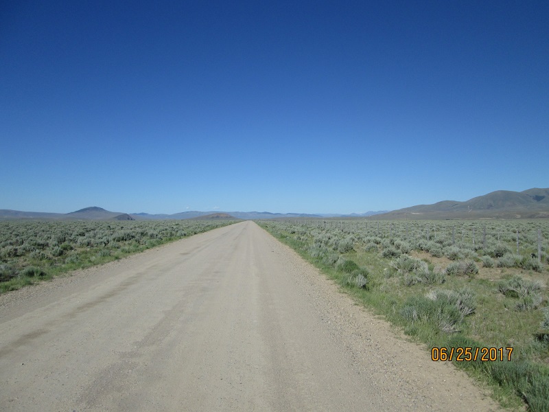
Route- CO 318 changes number to Utah 1364 and turned to dirt
 |
| Leaving
Colorado and pavement. Hello graded dirt road. I chose not to camp at
the free campsite as there was still usable daylight. |
 |
| Found
sections being graded. Worst was sections that had been watered for
dust control making the top layer muddy on hardpack (slippery) Didn't stop to take a picture of that hazard. |
 |
| Much
better hardpacked dirt road surface further on. |
 |
| Then
some nice pavement |
 |
| Nice
tilted uplift eh? |
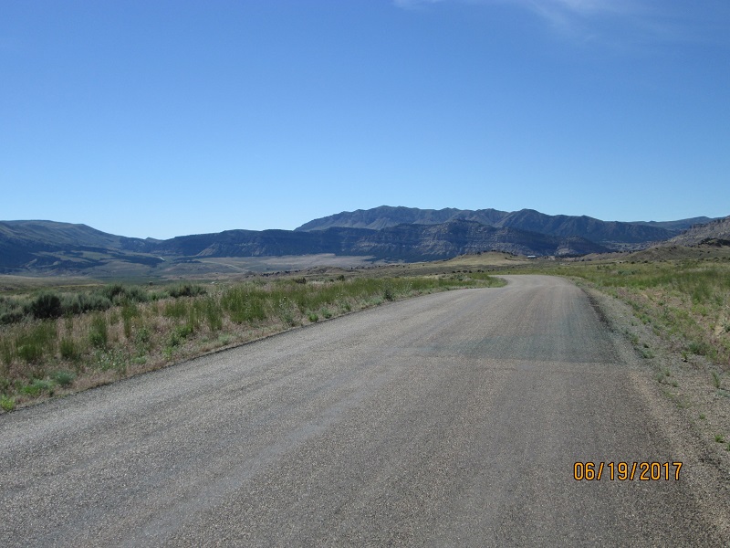
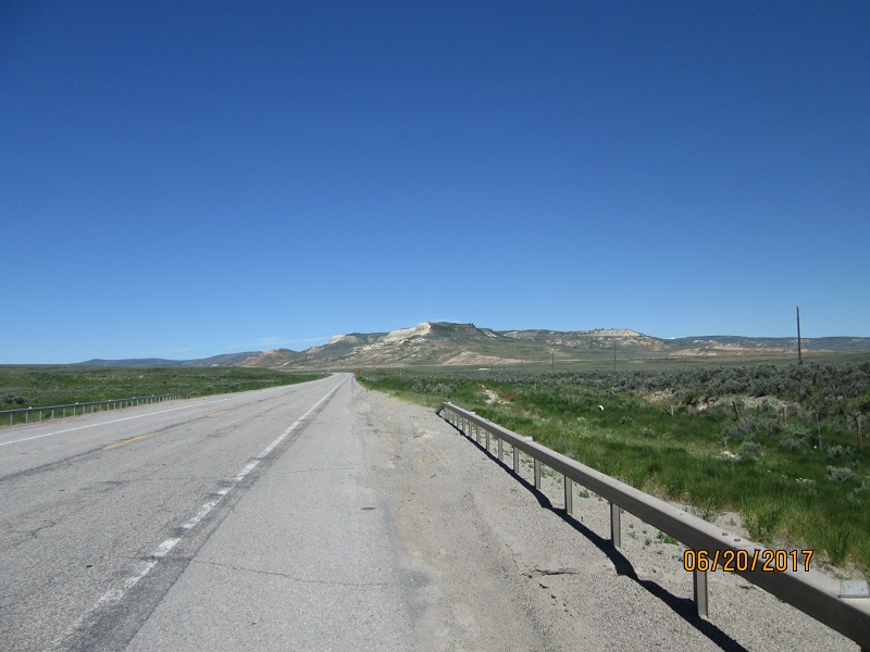
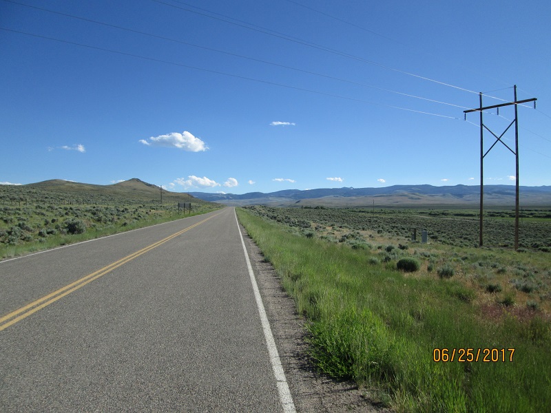
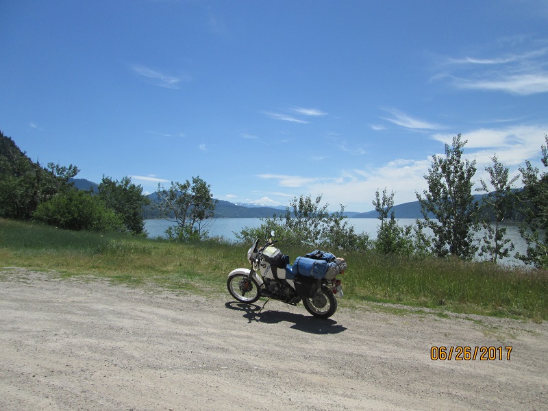
Route- 1364 eventually intersected with US Hwy 191 which I took south around the gorge to the night's campground.
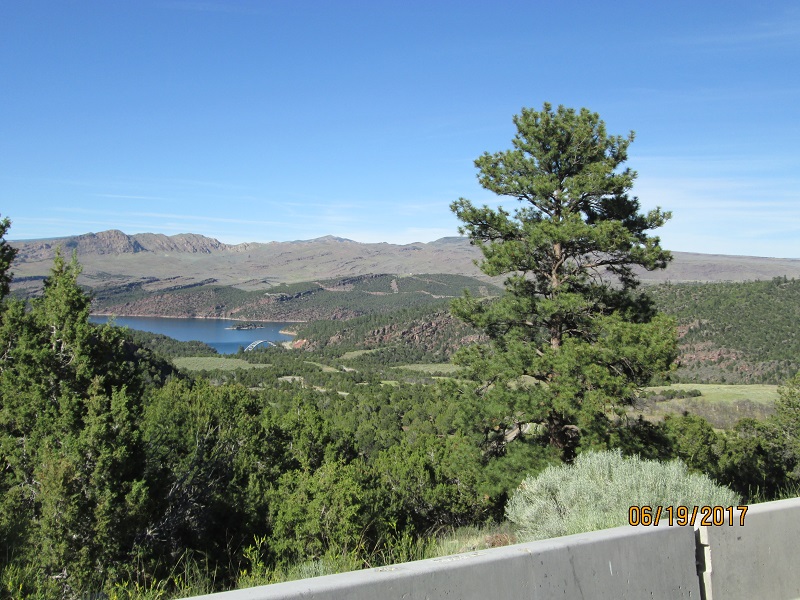 |
| Flaming
Gorge Reservoir from afar. Note the bridge at the bottom. |
 |
| A
group of about 6 or 8 Mexcan tourists on far more modern BMW
motorcycles than mine. One guy had helmet AND bike-stalk
mounted
GoPro cameras. They were having a good time. |
 |
| Skull
Creek campground. Few campers and no water. |
 |
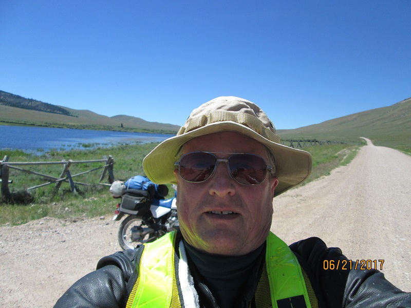
| Morning
selfie. (I didn't do a lot of selfies) |
 |
| More
Flaming Gorge. The ride down the hill was fabulous. |
 |
| Turned
hard left at the bottom and went uphill. Note the jagged uplifted
ridges. |
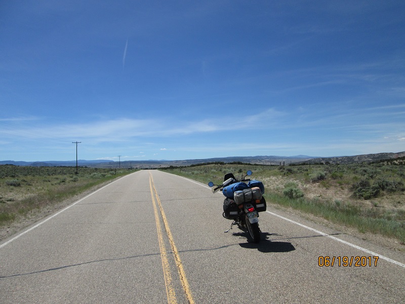
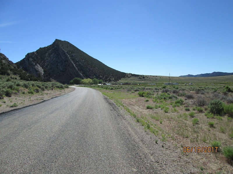
Route- Intersected UT 44 and headed west which turned to UT 43 then WY 414 headed for Mountain View, WY.
 |
| Big,
wide country. Headed for Manila, UT. |
 |
| Leaving
Utah, entering Wyoming. Looks pretty much the same doesn't it? |
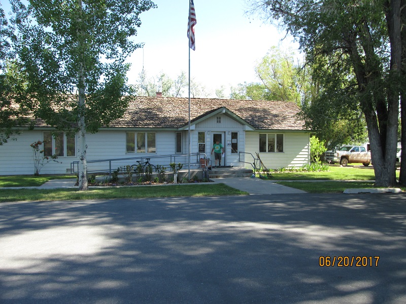 |
| Ranger
station at Mountain View, WY. I used their garden hose to refill my
water bottles and camelback after dry camping last night |
Route- WY 414 changed to WY 412 under I-80 and became the Carter
cutoff heading for US 189. Follow US 189 to Kemmerer then take US
30 West.
 |
| Carter
cutoff headed for Kemmerer, WY. Carter was just a little stop on the RR
up ahead. |
 |
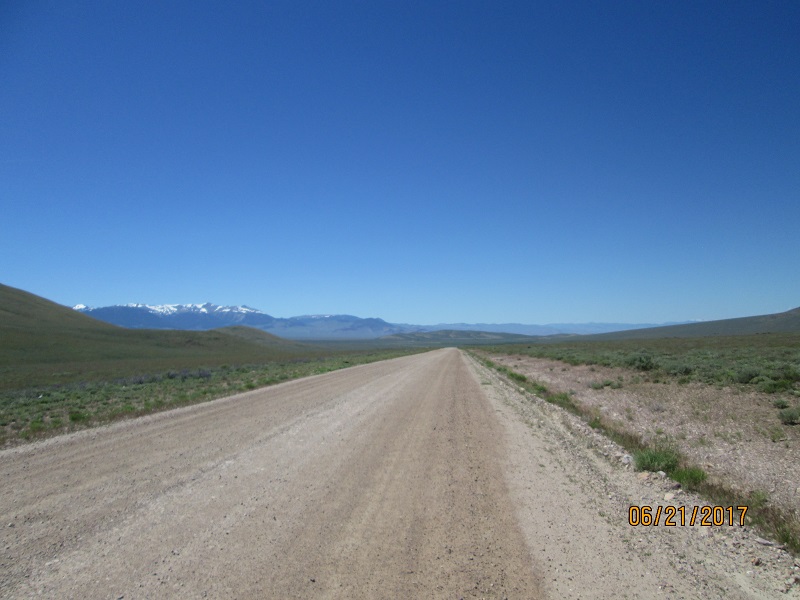
| There
is a LOT of nothing out there! |
 |
| Up
ahead is Fossil Butte. Famous for enormous numbers and types of fossils
to be dug out of there. |
 |
| And
onward. What a HUGE place! Boggles the mind to think of horse
and wagon speeds across here. |
Route - Turn off US 30 to WY 89 to run north toward Smoot &
Afton. Road follows the state line and crosses a bit then joins US 89
heading north
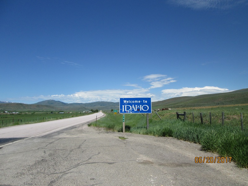 |
| Briefly
into Idaho on WY 89 headed for Afton WY. Nice well-watered
valley. Was passed by Wyoming Highway Patrol towing a trailer. |
 |
| Salt
River Pass |
 |
| Salt
River Pass - pic 2 |
 |
| Salt
River Pass - pic 3 |
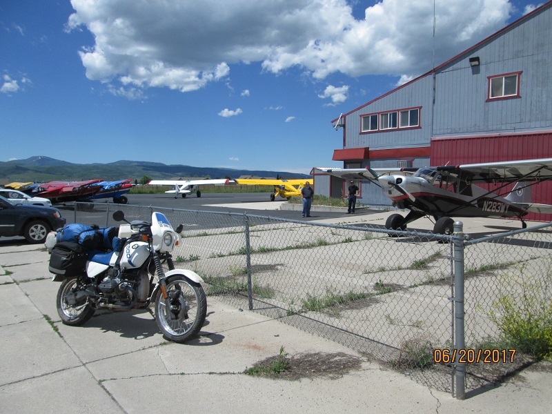 |
| Husky
Aircraft Company in Afton WY. New airplanes. Very popular as bushplanes |
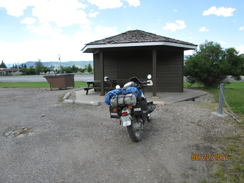 |
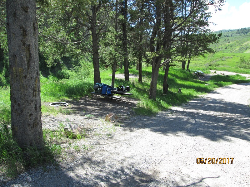
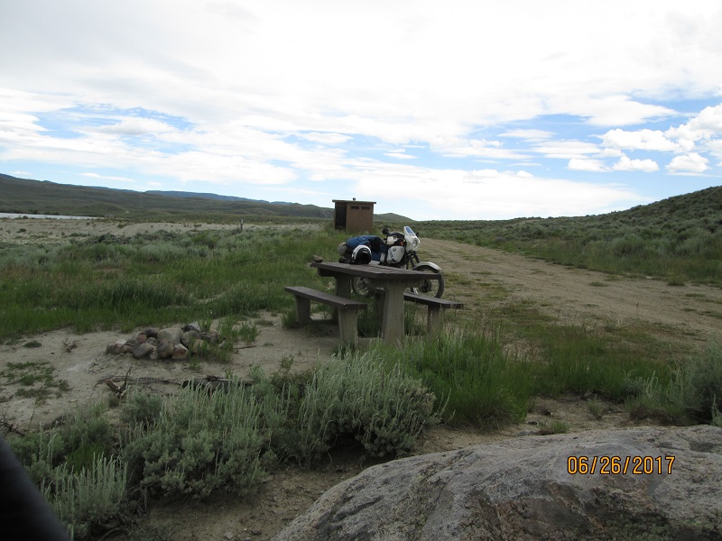
| Afton
visitor center had this shade & picnic table with flush toilet
and
running water. I took a break here and made some calls to family to
tell them I'm doing just fine. |
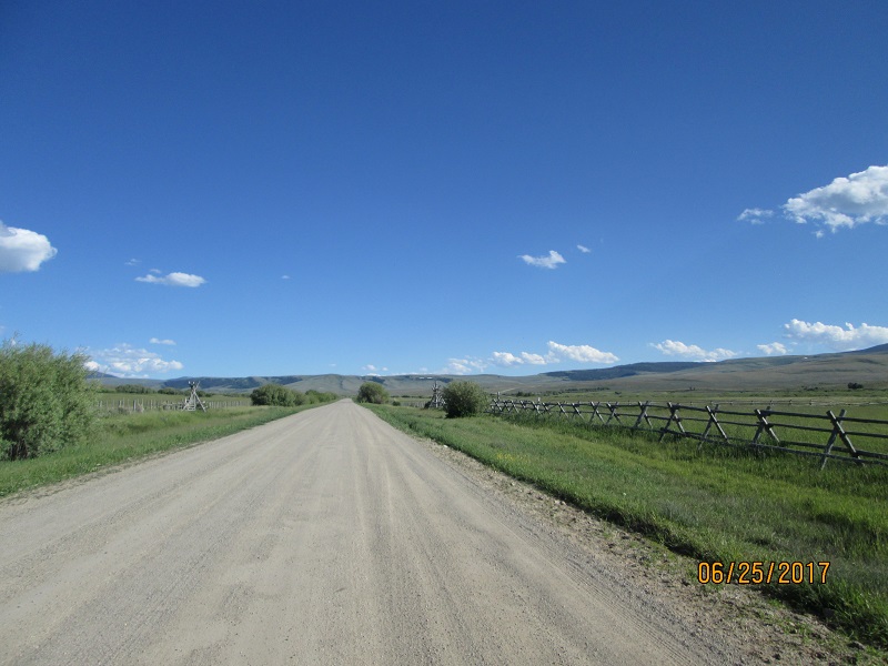
Route- North of Thayne find Wy 239 to the town of Freedom WY. Road turns into ID 34
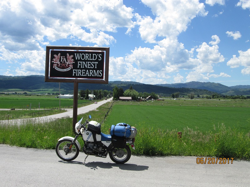 |
| Little
town of Freedom WY has Freedom Arms - makers of some really large
pistols. Heading into those mountains to look for a campsite. |
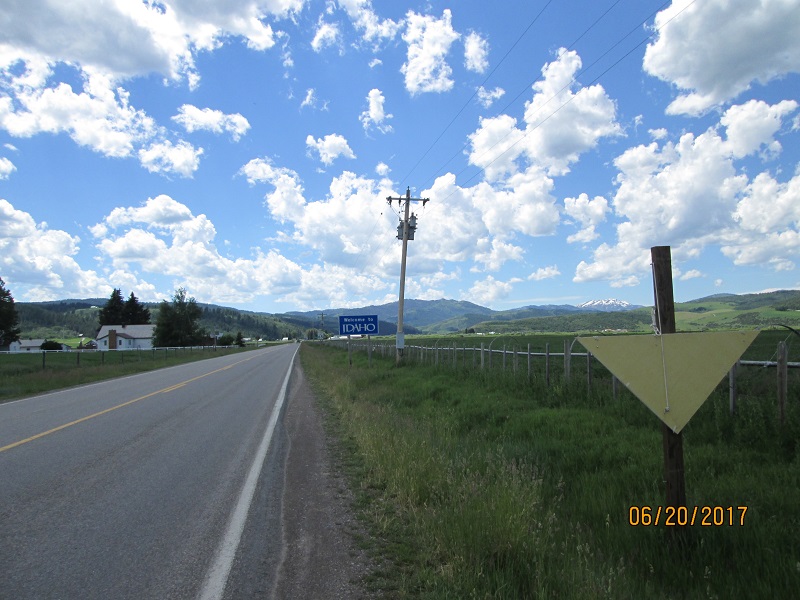 |
| Idaho
State line isn't far from Freedom WY. Road is ID 34. |
 |
| Grass
and other growth like green velvet |
 |
| Only
good tent site had parking, table, tent pad arranged linearly
along the campground road. |
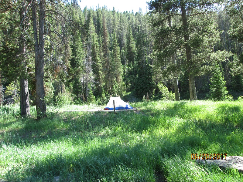 |
| Tent
pad was in sun until sundown. |
 |
| Next
day green and beautiful |
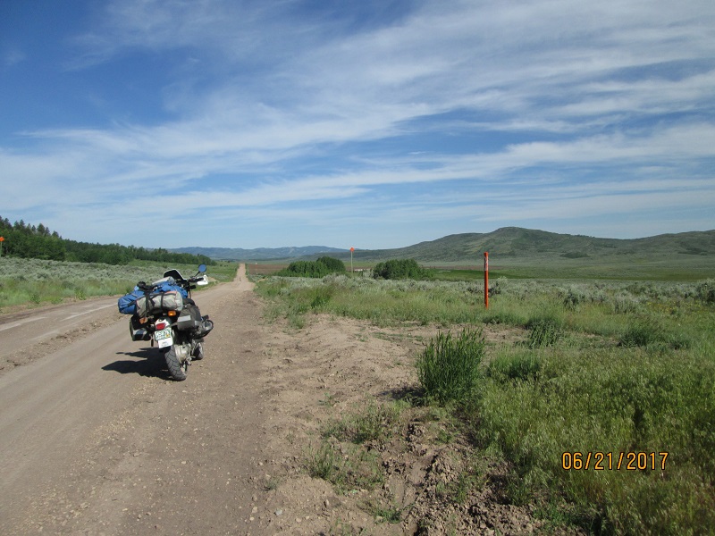
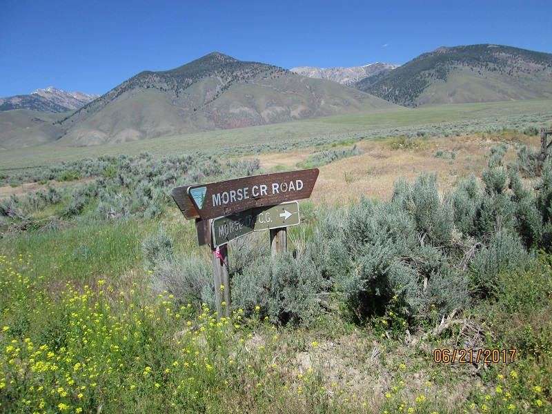
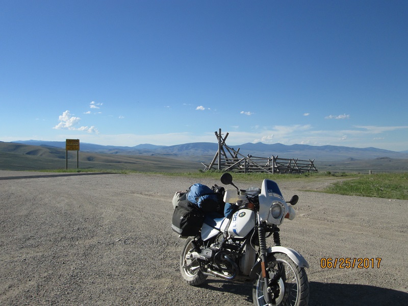
Route- turn off ID 34 and go north on Gray's Lake Rd. which turns into Long Valley Rd and becomes Bone Rd passing thru Bone, ID
 |
| Turnoff
to Gray's Lake Wildlife refuge. Plan was to ride north then NW around
it. |
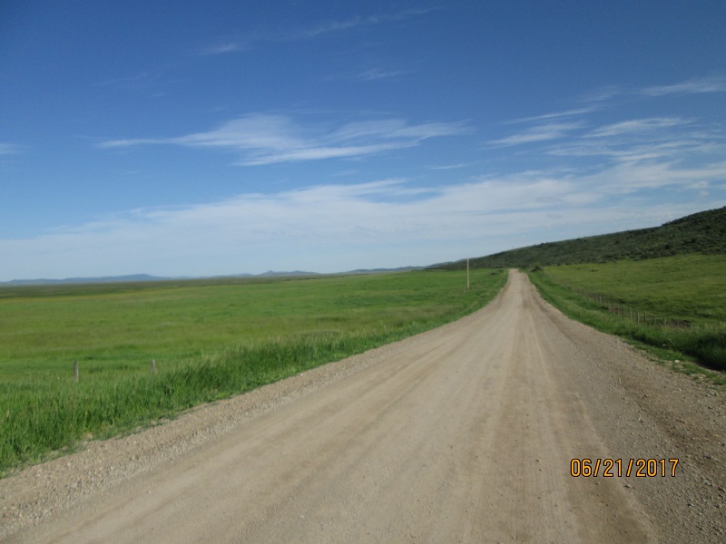 |
| Pretty
green and very little sign of habitation. Dirt road. |
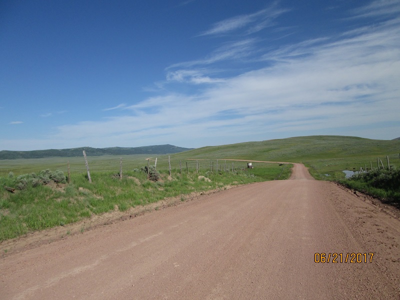 |
| More. |
 |
| Road
grader work area. Note the dirt ridge in the center. |
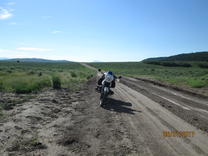 |
| Yet
another stop for a picture of grading. It's ok for riding - you just
can't cross the ridge casually without risking a crash |
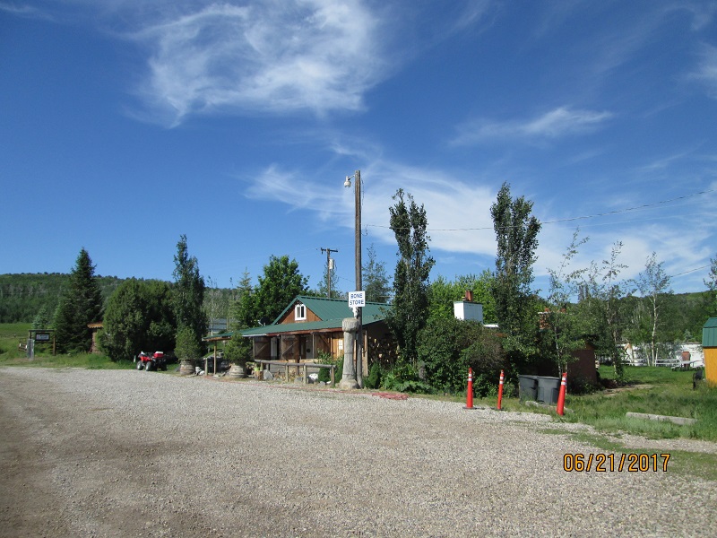 |
| The
store at Bone Idaho. Pavement began here. |
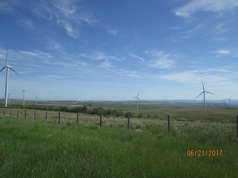 |
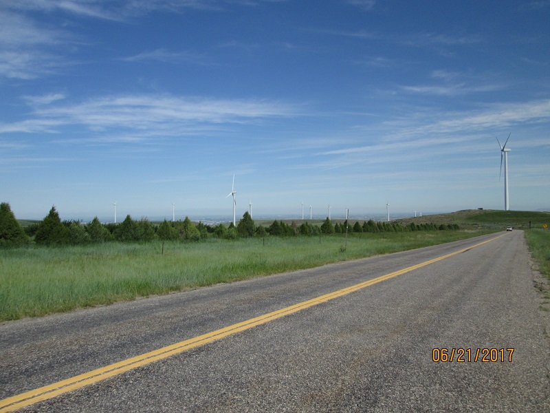
| Windfarm
outside Idaho Falls |
 |
| Idaho
Falls is out there in the plains |
Route- I followed Bone Rd into Idaho Falls. Had lunch in Ammon and
got kind of lost. Wound up riding up US29 to Rexburg before finding ID
33 to go west.
 |
| ID
33 from Rexburg to Howe. Across the lava rock desert. |
 |
| There
is a ridge way out there. Somewhere at the end of the ridge is Howe. |
 |
| Behind
the sign on the opposite side? |
 |
| Eventually
we'll get there then turn right up the valley |
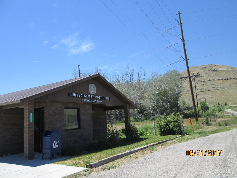 |
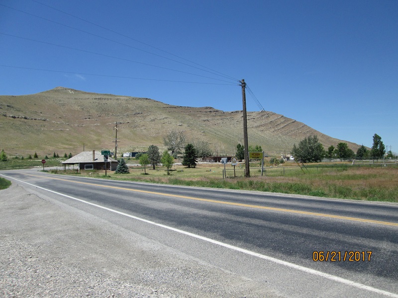
| Howe,
ID. My father went hunting in this valley in 1950. |
 |
| Howe
burned in 2012. No fuel there for many years. (I topped off at Mud Lake
30 miles back because the valley is nearly 100 miles long with another
40 to go to fuel at the end - a real fuel range challenge) |
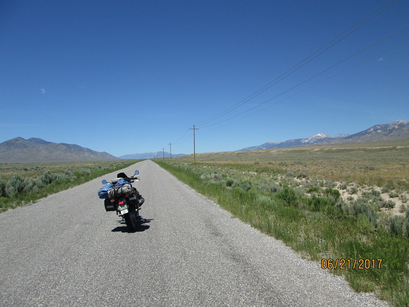
Route- Turned north up the Little Lost River Highway. Over the
saddle way out there it turns to the Pahsimeroi Rd with
Pahsimeroi creek draining to the north.
 |
| Little
Lost River highway. Valley runs nearly 100 miles with little to no
inhabitants. Best not make a mistake out here. |
 |
| There's
a stopped bike in the middle of the road. And it doesn't bother anybody
at all. |
 |
| No
centerline and little traffic. (1 car per hour?) |
 |
| Further
up the road..... |
 |
| Graded
dirt now and no sign of habitation or cultivation. The saddle ahead
marks the change from Little Lost River drainage to the Pahsimeroi
drainage. |
 |
| Summit
lake at the saddle between the drainages. |
 |
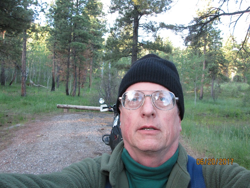
| Another
rare selfie. Note the shade hat used at stops. |
 |
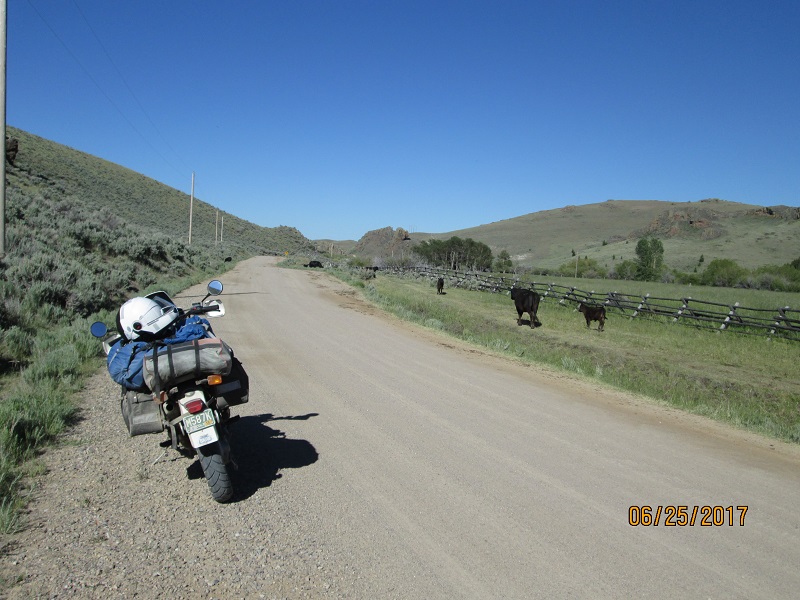
| Into
the Pahsimeroi (on dirt) |
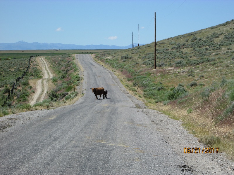 |
| This
cow had been standing her ground long enough for me to get the camera
out then she decided she'd go ahead and move. Back to pavement. |
 |
| There's
a campground at the end of the 7 mile road which I'd planned on using.
Planning had been based on Google Maps and looking at Google Street
view |
 |
| But
looking at this one-lane, fairly rough road - 7 miles seemed too far
and too risky for a campground. So I didn't go there. |
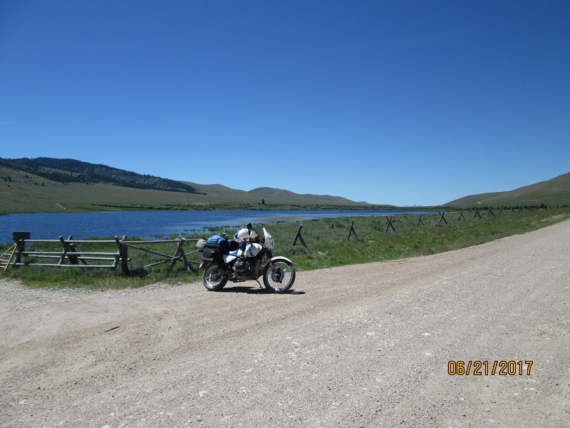
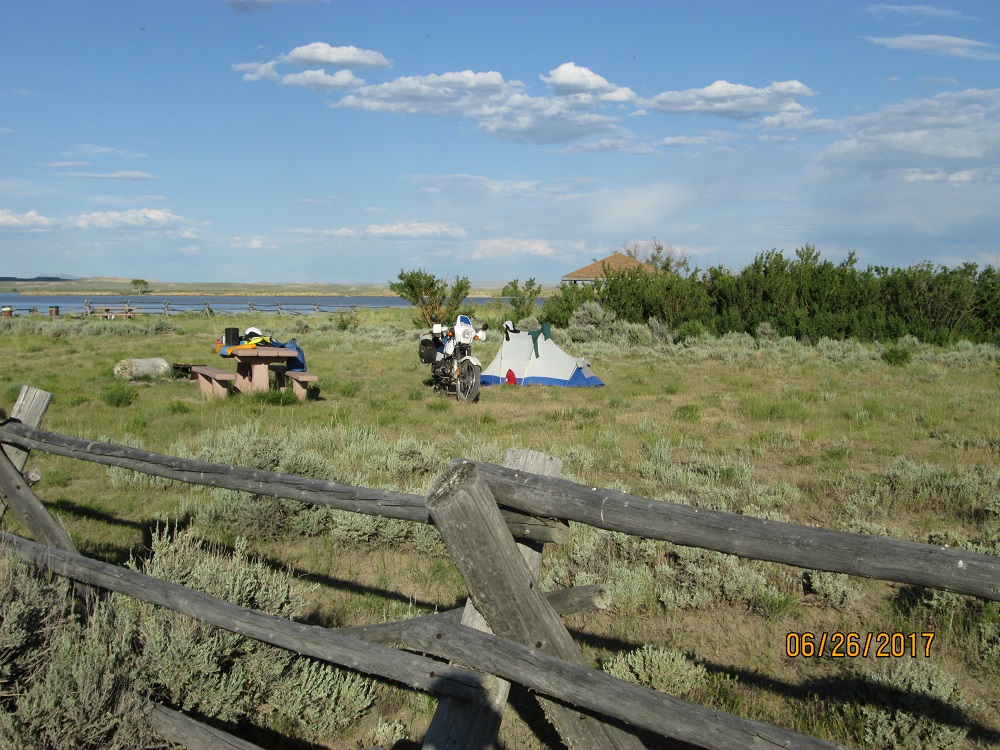
Route- Pahsimeroi Rd meets US 93 which follows the Salmon river. I
turned south to find the campground (Plan B from trip planning).
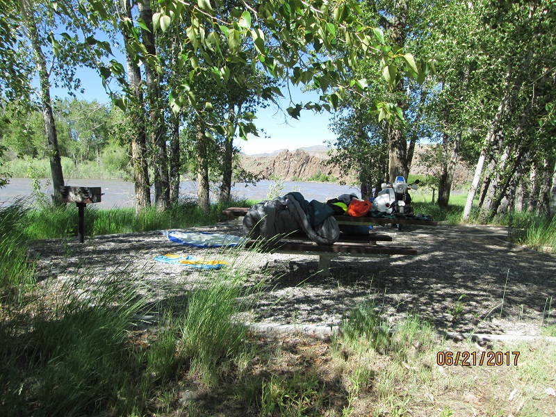 |
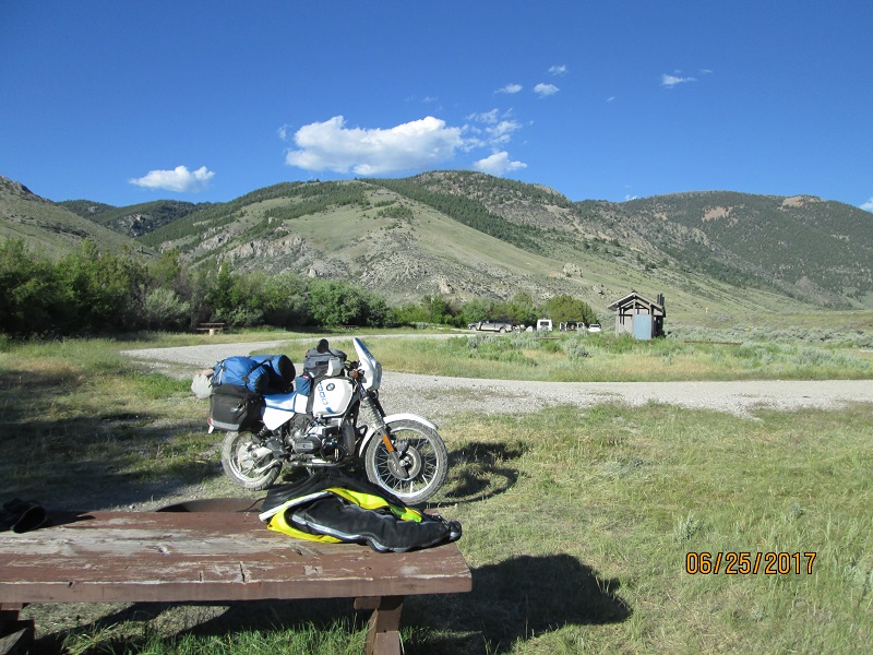
| So
instead I went to Cottonwood campground on the Salmon River. Nearly
empty, next to the river , shady. Nice. (airing out my sleeping bag on
the picnic table) |
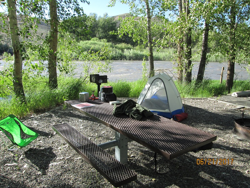 |
| River
was very high so water was very close. Had to use earplugs to sleep. |
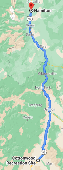
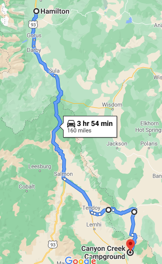
Route- Followed US 93 to Hamilton MT where the rally was held.
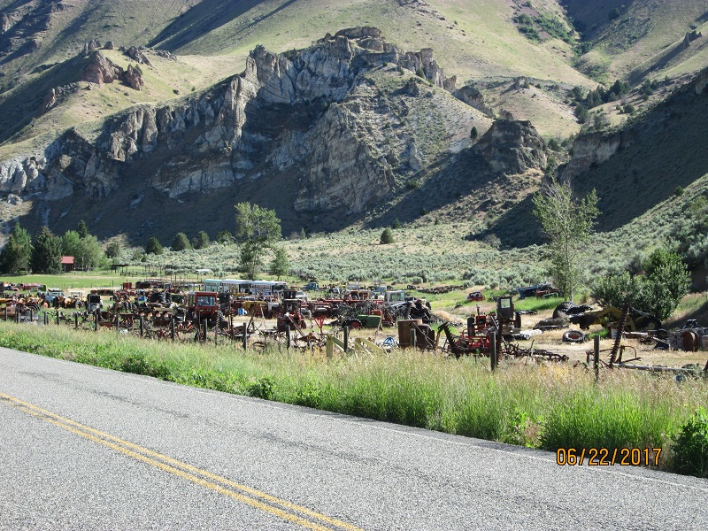 |
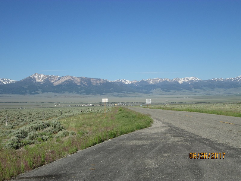
| Field
of junk farm machinery along the Salmon River north of Salmon ID |
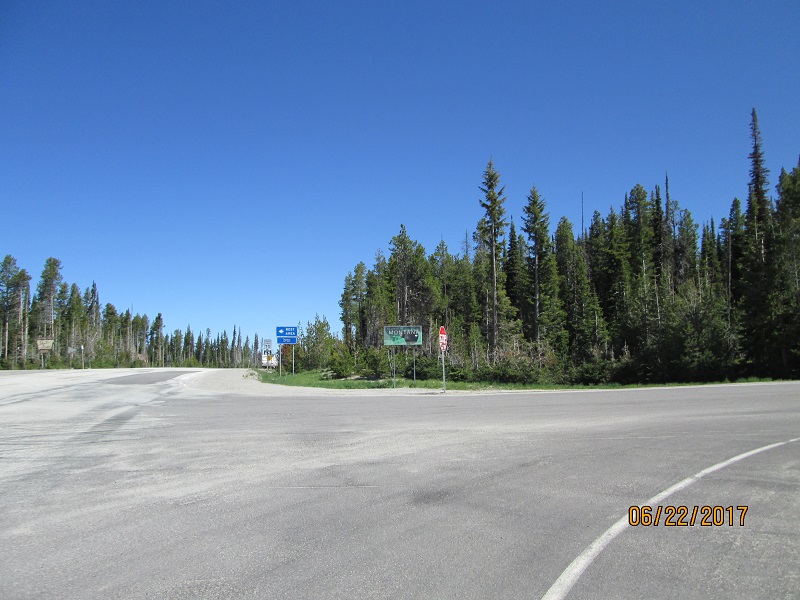 |
| Lost Trail Pass into Montana |
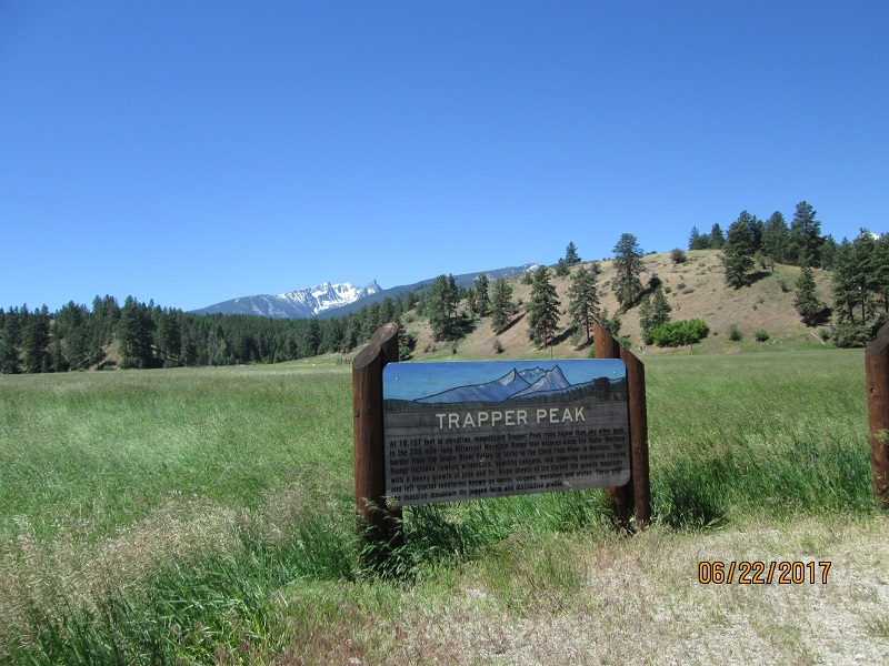 |
| I
stopped at a lot of these signs though I didn't take many pictures.
This is Lewis & Clark country and having recently read their
journals find it very, very interesting to be here. |
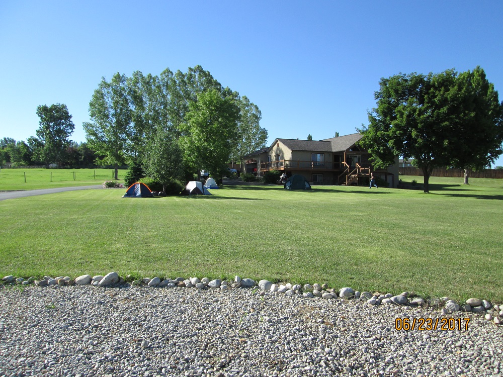 |
| Destination
is this lovely home of a 'pretend internet friend' who offered us
invitation only BBQ meetup in Hamilton, MT. Park and pitch
anywhere. Our host couldn't have been more generous. |
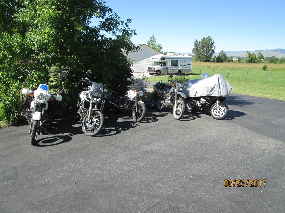 |
| Just
a few of the bikes . Mine is on the left end. Even the camper in the
picture is occupied by an attendee. |
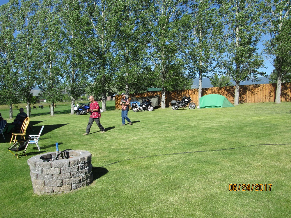 |
| Backyard
view with more bikes and camping arrangements. |
I'm not going to get into who is in the picture. Just take note of the general grayness of the guys.
 |
| Attendees/inmates
hanging out in the shade. |
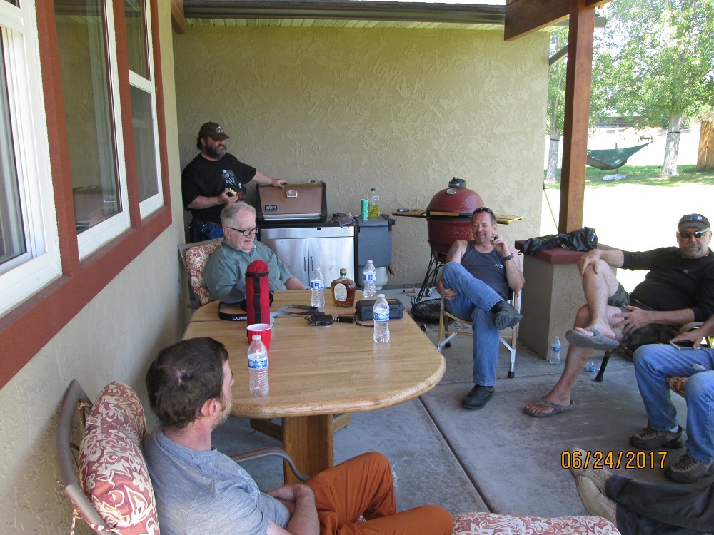 |
| More. |
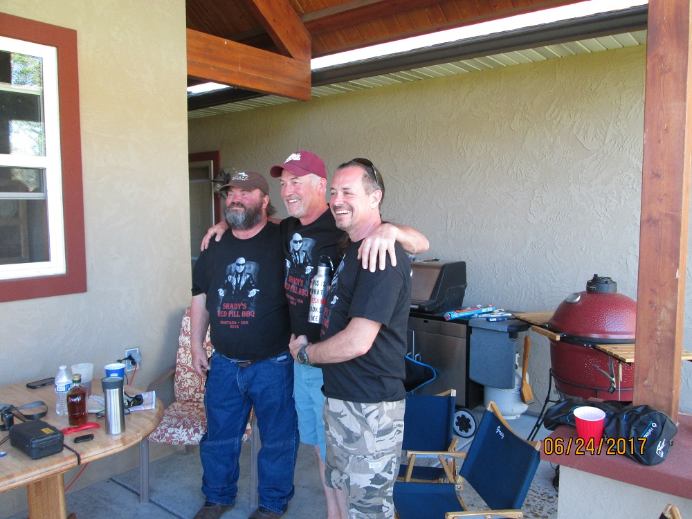 |
| 3
T-shirts from last year's get together. Our host is the in the center.
L-R are retired school teacher, lumber broker, machinist. |
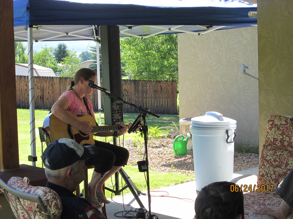 |
| Even
had our own self-provided entertainment. (Screen name 'TigerLilly') |
 |
| On
Friday I needed to add a half quart of oil before riding Skalkaho pass |
 |
| Nice
mellow road to Skalkaho Falls. Most is paved but about 5 miles to the
Falls is dirt. |
 |
| The
dirt is easy to ride and the views are nice. |
 |
| More |
 |
| Skalkaho
Falls. For some reason people were more interested in the water flowing
out of the culvert downhill into the gully |
 |
| I
rode up to the Skalkaho pass summit because I could and found this
snowdrift left visible over my front wheel |
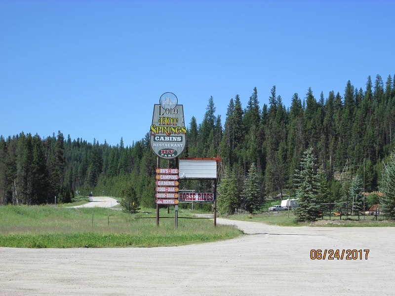 |
| Next
day, Saturday, I rode about 80 miles of Hwy 12 over Lolo Pass down to
the Lochsa river and returned. Mandatory to take a picture at
Lolo Hot Springs. |
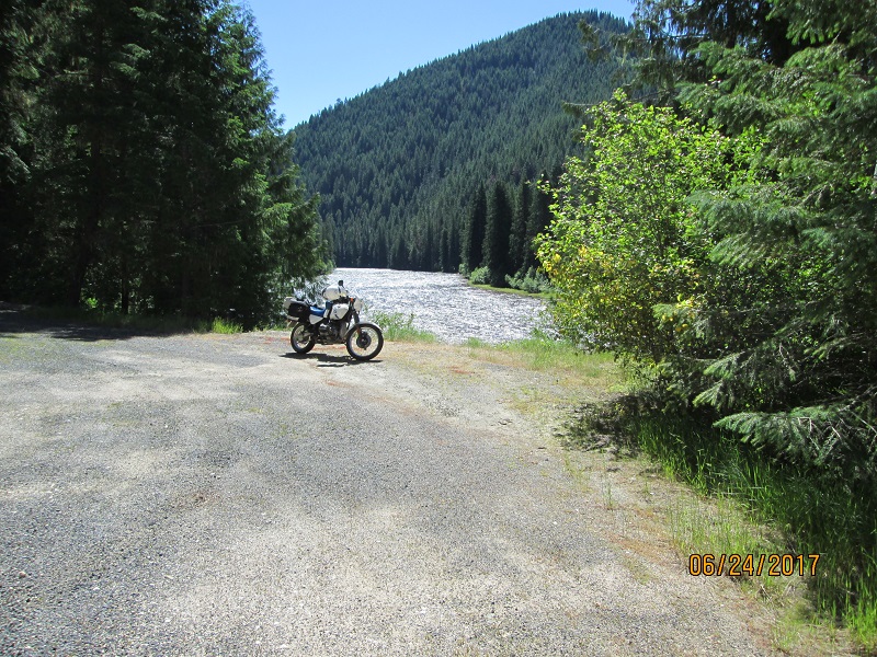 |
| Lochsa
River. You know you're in the American Redoubt when you find spent .223
rifle brass in the gravel at turnouts. (I'm ok with that but don't understand it) |
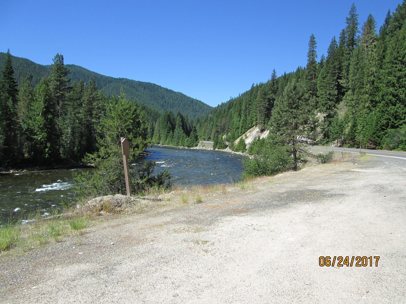 |
| What
a nice river! |
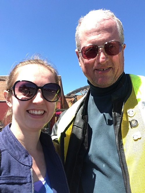 |
| On
Sunday before leaving I took my neice Rachael out for lunch at Red Robin in Missoula. Our
selfie.... |
Route- depart south on US 93 (retracing some of the route)
 |
| Lost Trail Pass southbound. Headed for home with a 2 PM start from Hamilton |
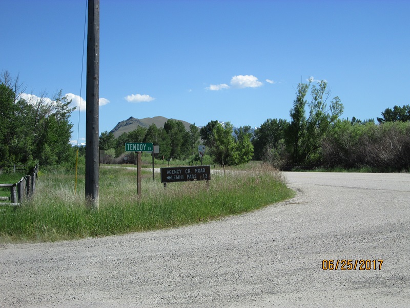
Route- At Salmon, ID turn SE on ID 28. This valley parallels the
Pahsimeroi but the road is paved and there is more population. Turn
into the hills at Tendoy to visit Lemhi Pass
 |
| ID
28 headed for Tendoy and the turnoff for Lemhi Pass. Nice road, little
traffic. |
 |
| Turnoff.
Road is dirt from here for a LONG way. |
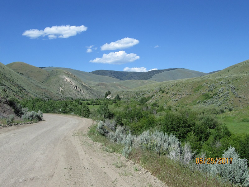 |
| Pushing
into the hills. Very little traffic as it's kind of late in the day.
(1800 or so) |
 |
| Onward |
 |
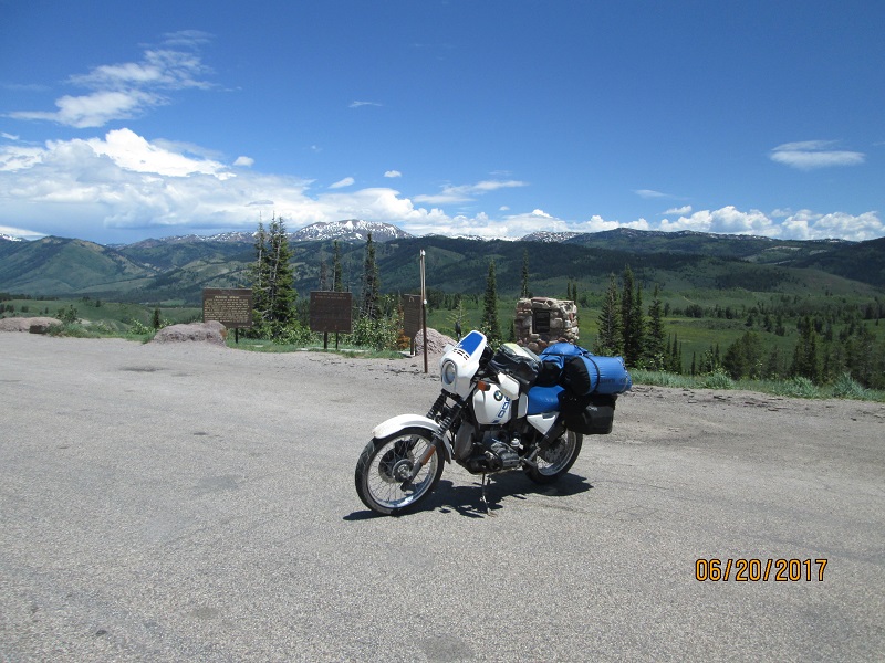
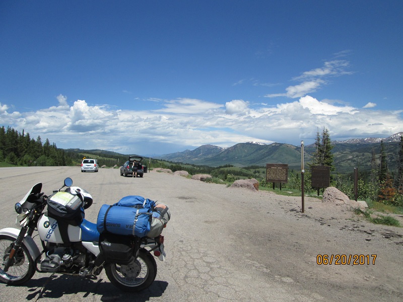
| Looking
back down the easy part of the hill where the history site boundary
begins |
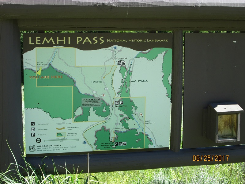 |
| Map
of the site. From here to the summit is quite steep and narrow. |
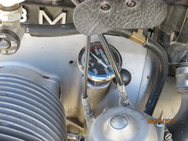 |
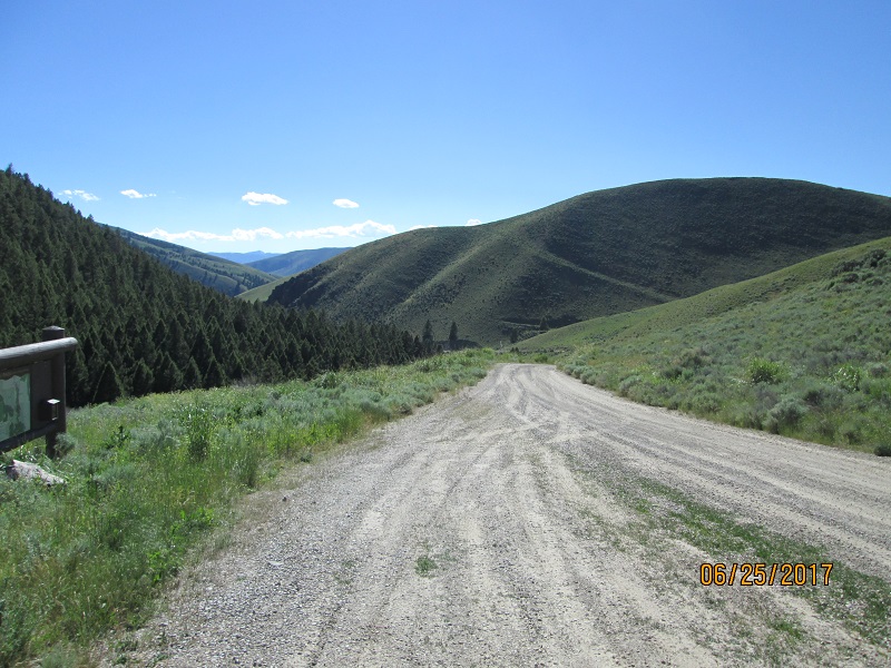
| On
reaching the top my oil temperature gage was indicating redline. High
RPM, 1st gear, no wind, extended climb did this. I shut down to let it
cool off. |
 |
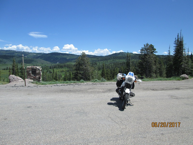
| Top
of Lemhi Pass. Didn't really get a sense of the mountains in the
distance due to the winding nature of this set of ridges. |
Route- Continuing west Google Maps shows this as Lemhi Pass road then as Hwy 324.
 |
| Down
the other side with a little shade and airflow to help things cool down |
 |
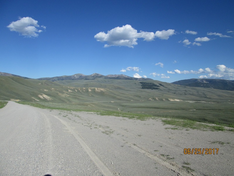
| And
out into some more sagebrush country eventually headed for Bannock Pass
(it's a long way from here) |
 |
| Open
range |
 |
| Sure
are a lot of rocks out here! |
 |
| And
then there's a lot more sagebrush |
Route - Not sure if Google is right as the paved road I came to is
WY 324. Same number as I'd been on but a different road. It remained
WY324
until the summit of Bannock Pass where it became ID29
which returned to ID 28 at the town of Leadore. I camped before
reaching Leadore.
 |
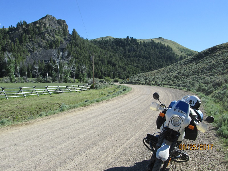
| Some
very nice pavement going toward Bannock Pass but it didn't
last. |
 |
| Very
pretty in the evening light |
 |
| Bannock
Pass 1 |
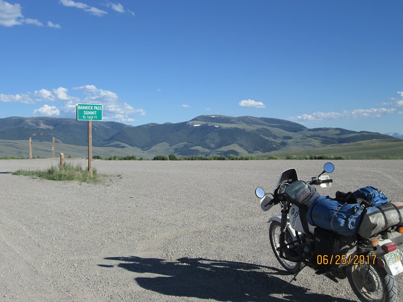 |
| Bannock
Pass 2 |
 |
| Bannock
Pass 3 - down the back side headed south for pavement near Leador
(tomorrow) |
 |
| Exiting
one canyon into a much bigger one. |
 |
| Smokey
Cub campground (BLM, free). I had no contact with the other campers. |
 |
| Next
morning headed downhill for the town of Leadore |
 |
| More
time to think about how folks did it at the speed of horse and
wagon..... (heading south toward Mud Lake) |
 |
| And
on and on and on...... |
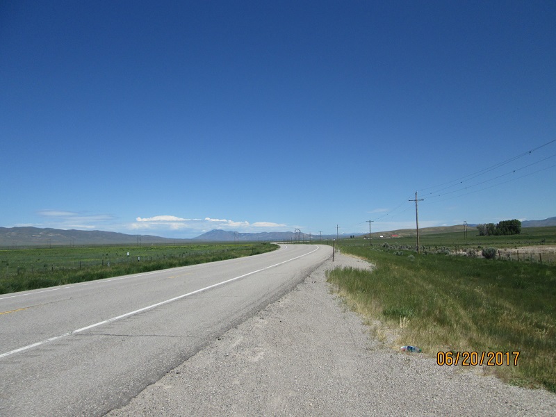
Route- On reaching ID 33 head East thru mud Lake to Rexburg.
Meander thru Rexburg to Sunnydell and Ririe to reach US 26 and run east
along the Palisades Reservoir
 |
| Approaching
Palisades Reservoir so more boating facilities. Stopped here because
State Rest Stop restrooms were broken/locked up. |
 |
| Palisades
Rervoir. Huge body of water. My pix don't do it justice. |
Route- At Alpine Junction continue on US 26 to Hoback then find US
191 and head for Pinedale being very careful to observe the speed limit
within 50 miles of Pinedale.
 |
| Near
Boulder WY looking for a campground. This looked promising but wasn't a
campground. |
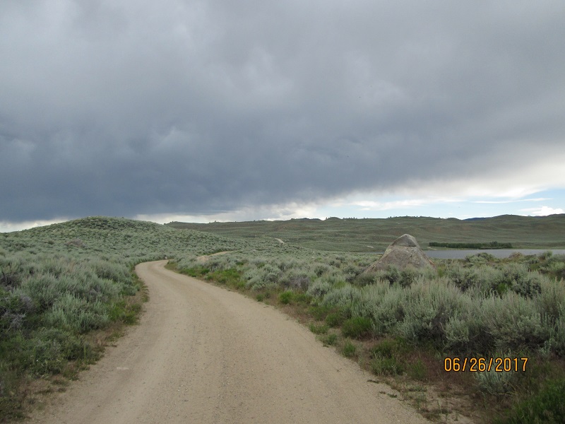 |
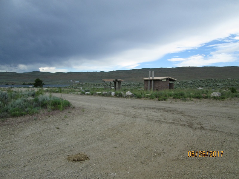
| Single
track dirt road. Is there a campground around here somewhere? |
 |
| Finally
at the far end of the dirt road an outhouse and picnic table.
Not
much place to pitch a tent. Looking at the black cloud in the prior
picture and thinking how the roads might turn greasy if it rained.....
I didn't stay. I continued further south. |
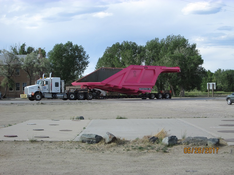 |
| I
went on to Farson WY to get gas and saw this. A week earlier I'd seen a
parade of 3 of these pass thru Mountain View WY (near the ranger
station water stop) but hadn't gotten a picture. This is the dump bed
for a gigantic mine dump truck. Certainly an attention-getting color.... |
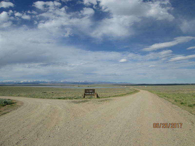 |
| Went
back 12 miles to the north to Big Sandy Recreation Area (BLM) to look
for a campsite. Appears to be another sagebrush reservoir. |
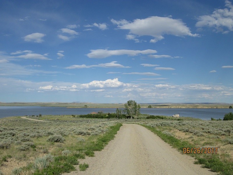 |
| By
golly, there's a TREE! Saw 2 5th wheel campers parked in the
sage
and I had this area all to myself. Getting late so have to make it
work. |
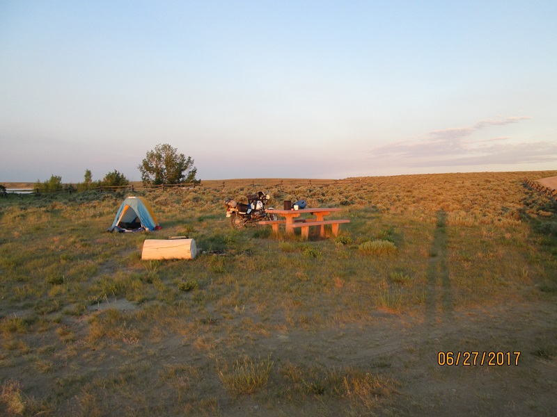 |
| It
worked ok. Flat enough ground, a picnic table to pack/unpack on and a
small fire pit if I cared to have a fire. Outhouse is out of sight
beyond the bushes to the left of the tent. It was stocked with recent rolls of TP. |
 |
| Pretty
austere but it was a good project once upon a time. |
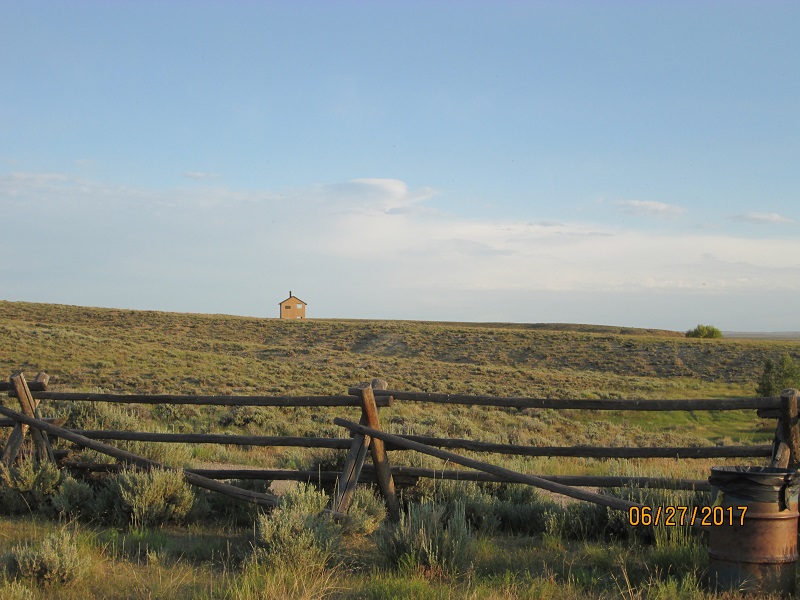 |
| One
of several lonely outhouses likely near turnouts in the sagebrush for
5th wheel type campers. |
Route - Continue south of US 191 to Rock Springs then find your way
to WY 430 departing to the southeast. This road eventually will cross
into Colorado and join CO 318 that will come out at Maybell
 |
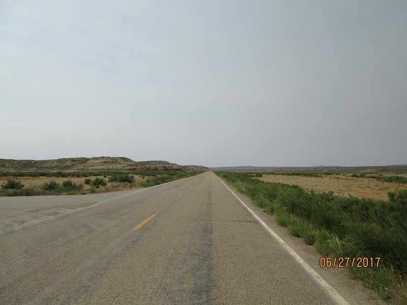
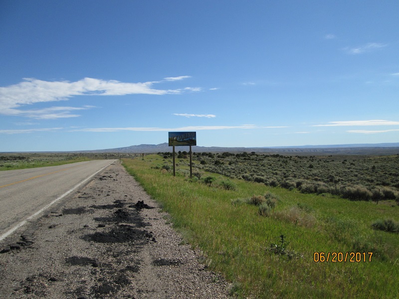
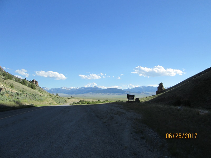
| Final
day. Taking WY430 to the southeast out of Rock Springs. This will
eventually join the road from Maybell to Brown's Hole that I rode on
the first day. But first it crosses a lot of lonely country. But the WY
portion is good pavement. |
 |
| Many
mesas. A guy could probably run 100 mph here but the remoteness
and long time before discovery of your crash suggests not doing that.
(I didn't) |
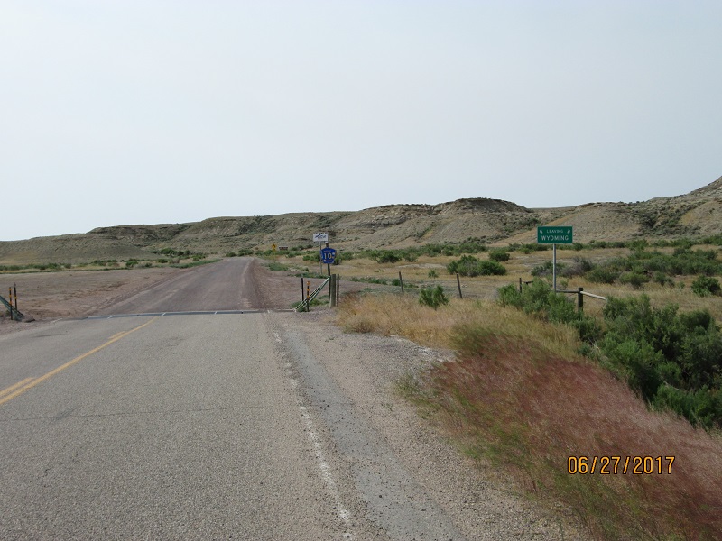 |
| One
sign says "Leaving Wyoming" the other sign says "Welcome to
Moffat County" No 'Colorado" sign. And the road becomes
hardpack
(very good) dirt after you cross the cattle guard. |
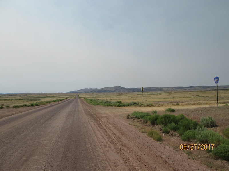 |
| It's
a long way out there. I should have taken pictures of Irish
Canyon and its amazing uplifts but didn't. |
 |
| CO
318 headed for Maybell |
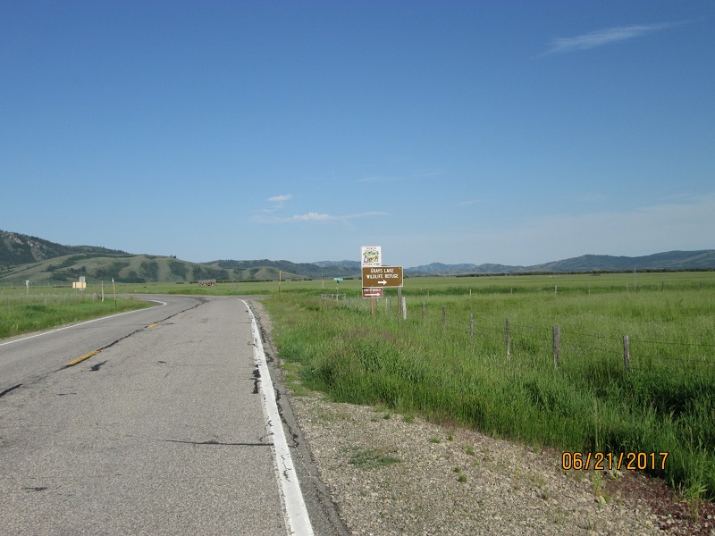
Route- From Maybell it was retracing the outbound route. US 40 to
Rabbit Ears then CO 14 to Stove Prairie Landing to Masonville
then Horsetooth Reservoir and home. Short diversion to visit the Jones'
 |
| I
went by my friends the Jones' to have a trip - end picture taken. I
felt a lot worse than this looks. But I cleaned up pretty well
afterwards. |
No crashes, no close calls, no dropped bike. 1 small bird strike to the
chest at 45 mph while in Hamilton. (I'm fine. Don't know about the bird) Used about 0.9 qt oil for the trip.
2550 miles covered. Never got rained on. Lots of memories to consider.
Last Modified: 11/14/2020 (added route maps)